
KSM Kuching - Earthquake Result Viewer
| ||||||||||||||||||
| ||||||||||||||||||
| ||||||||||||||||||
|

Signal To Noise
| Channel | StoN | STA | LTA |
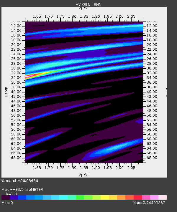
| MY:KSM: :BHN:20090218T22:04:58.568997Z | 157.57993 | 1.08408685E-5 | 6.8796E-8 |
| MY:KSM: :BHE:20090218T22:04:58.568997Z | 41.800198 | 2.5499844E-6 | 6.100412E-8 |
| MY:KSM: :BHZ:20090218T22:04:58.568997Z | 58.15499 | 3.0409456E-6 | 5.2290364E-8 |
| Arrivals | |
| Ps | 3.2 SECOND |
| PpPs | 13 SECOND |
| PsPs/PpSs | 16 SECOND |

