JER GII Station Jerusalem, Israel - Earthquake Result Viewer
Earthquake location: Off East Coast Of Honshu, Japan
Earthquake latitude/longitude: 34.3/141.1
Earthquake time(UTC): 1996/11/20 (325) 02:27:47 GMT
Earthquake Depth: 33 km
Earthquake Magnitude: 5.9 MB, 5.7 MS, 6.1 UNKNOWN, 6.1 MW
Earthquake Catalog/Contributor: WHDF/NEIC
Network: GE GEOFON
Station: JER GII Station Jerusalem, Israel
Lat/Lon: 31.77 N/35.20 E
Elevation: 770 m
Distance: 84.2 deg
Az: 304.594 deg
Baz: 53.097 deg
Ray Param: 0.045599625
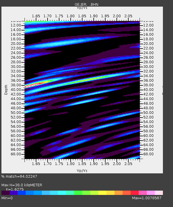
Estimated Moho Depth: 38.0 km
Estimated Crust Vp/Vs: 1.63
Assumed Crust Vp: 6.391 km/s
Estimated Crust Vs: 3.927 km/s
Estimated Crust Poisson's Ratio: 0.20
Radial Match: 94.02247 %
Radial Bump: 400
Transverse Match: 92.78784 %
Transverse Bump: 400
SOD ConfigId: 6273
Insert Time: 2010-03-09 04:31:26.710 +0000
GWidth: 2.5
Max Bumps: 400
Tol: 0.001

Signal To Noise

ChannelStoNSTALTA
GE:JER: :BHN:19961120T02:39:44.834021Z1.1799871.275924E-71.0813035E-7
GE:JER: :BHE:19961120T02:39:44.834021Z1.50972522.1974023E-71.4554982E-7
GE:JER: :BHZ:19961120T02:39:44.834021Z6.73497776.7978647E-71.0093374E-7
Arrivals
Ps3.8 SECOND
PpPs15 SECOND
PsPs/PpSs19 SECOND