JER GII Station Jerusalem, Israel - Earthquake Result Viewer
Earthquake location: Minahassa Peninsula, Sulawesi
Earthquake latitude/longitude: 0.5/119.9
Earthquake time(UTC): 2002/06/16 (167) 00:00:25 GMT
Earthquake Depth: 35 km
Earthquake Magnitude: 5.7 MB, 5.5 MS, 5.9 MW, 5.8 MW
Earthquake Catalog/Contributor: WHDF/NEIC
Network: GE GEOFON
Station: JER GII Station Jerusalem, Israel
Lat/Lon: 31.77 N/35.20 E
Elevation: 770 m
Distance: 85.2 deg
Az: 301.675 deg
Baz: 92.361 deg
Ray Param: 0.044864986
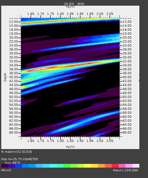
Estimated Moho Depth: 35.75 km
Estimated Crust Vp/Vs: 1.70
Assumed Crust Vp: 6.391 km/s
Estimated Crust Vs: 3.765 km/s
Estimated Crust Poisson's Ratio: 0.23
Radial Match: 82.51836 %
Radial Bump: 368
Transverse Match: 71.29521 %
Transverse Bump: 400
SOD ConfigId: 20082
Insert Time: 2010-03-09 04:33:33.012 +0000
GWidth: 2.5
Max Bumps: 400
Tol: 0.001

Signal To Noise

ChannelStoNSTALTA
GE:JER: :BHN:20020616T00:12:27.438013Z0.66891787.380491E-81.103348E-7
GE:JER: :BHE:20020616T00:12:27.438013Z1.12349671.4770755E-71.314713E-7
GE:JER: :BHZ:20020616T00:12:27.438013Z4.20884854.5216365E-71.07431674E-7
Arrivals
Ps4.0 SECOND
PpPs15 SECOND
PsPs/PpSs19 SECOND