
SUW GEOFON Station Suwalki, Poland - Earthquake Result Viewer
| ||||||||||||||||||
| ||||||||||||||||||
| ||||||||||||||||||
|

Signal To Noise
| Channel | StoN | STA | LTA |
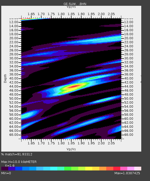
| GE:SUW: :BHN:19990507T14:24:30.628005Z | 11.2775135 | 1.2863112E-6 | 1.1405982E-7 |
| GE:SUW: :BHE:19990507T14:24:30.628005Z | 2.6465826 | 5.5304685E-7 | 2.089664E-7 |
| GE:SUW: :BHZ:19990507T14:24:30.628005Z | 1.390961 | 2.386554E-7 | 1.7157589E-7 |
| Arrivals | |
| Ps | 1.0 SECOND |
| PpPs | 3.8 SECOND |
| PsPs/PpSs | 4.8 SECOND |

