BGIO GII/GEOFON Station Bar Giyyora, Israel - Earthquake Result Viewer
Earthquake location: Off East Coast Of Honshu, Japan
Earthquake latitude/longitude: 40.8/143.4
Earthquake time(UTC): 1995/12/30 (364) 12:11:07 GMT
Earthquake Depth: 33 km
Earthquake Magnitude: 5.7 MB, 6.2 MS, 6.4 UNKNOWN, 6.3 MW
Earthquake Catalog/Contributor: WHDF/NEIC
Network: GE GEOFON
Station: BGIO GII/GEOFON Station Bar Giyyora, Israel
Lat/Lon: 31.72 N/35.09 E
Elevation: 752 m
Distance: 82.1 deg
Az: 305.228 deg
Baz: 46.702 deg
Ray Param: 0.04707596
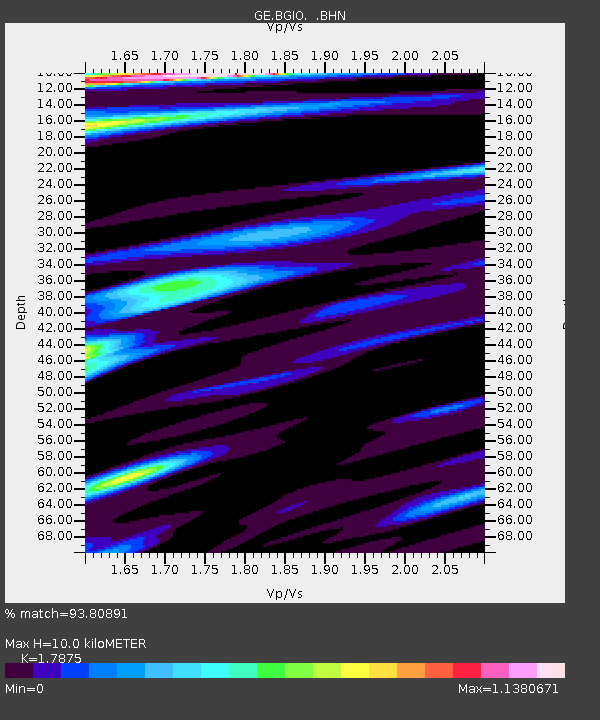
Estimated Moho Depth: 10.0 km
Estimated Crust Vp/Vs: 1.79
Assumed Crust Vp: 6.391 km/s
Estimated Crust Vs: 3.575 km/s
Estimated Crust Poisson's Ratio: 0.27
Radial Match: 93.80891 %
Radial Bump: 400
Transverse Match: 90.555435 %
Transverse Bump: 400
SOD ConfigId: 6273
Insert Time: 2010-03-09 05:28:41.557 +0000
GWidth: 2.5
Max Bumps: 400
Tol: 0.001

Signal To Noise

ChannelStoNSTALTA
GE:BGIO: :BHN:19951230T12:22:53.452002Z2.18578312.530475E-71.15769716E-7
GE:BGIO: :BHE:19951230T12:22:53.452002Z3.5069632.8867626E-78.2315175E-8
GE:BGIO: :BHZ:19951230T12:22:53.452002Z15.6720551.4310233E-69.1310504E-8
Arrivals
Ps1.3 SECOND
PpPs4.2 SECOND
PsPs/PpSs5.5 SECOND