BGIO GII/GEOFON Station Bar Giyyora, Israel - Earthquake Result Viewer
Earthquake location: North Of Ascension Island
Earthquake latitude/longitude: -1.3/-14.3
Earthquake time(UTC): 1996/02/18 (049) 23:49:28 GMT
Earthquake Depth: 10 km
Earthquake Magnitude: 6.3 MB, 6.4 MS, 6.6 UNKNOWN, 6.5 MW
Earthquake Catalog/Contributor: WHDF/NEIC
Network: GE GEOFON
Station: BGIO GII/GEOFON Station Bar Giyyora, Israel
Lat/Lon: 31.72 N/35.09 E
Elevation: 752 m
Distance: 57.1 deg
Az: 50.374 deg
Baz: 244.636 deg
Ray Param: 0.06371046
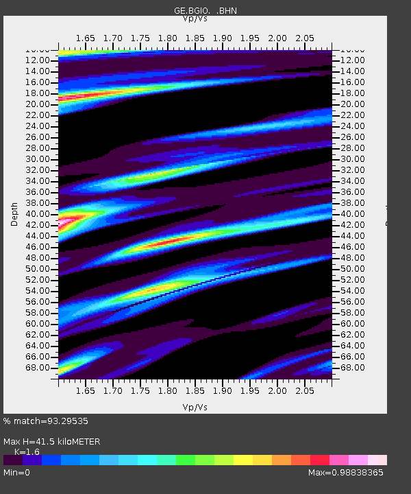
Estimated Moho Depth: 41.5 km
Estimated Crust Vp/Vs: 1.60
Assumed Crust Vp: 6.391 km/s
Estimated Crust Vs: 3.994 km/s
Estimated Crust Poisson's Ratio: 0.18
Radial Match: 93.29535 %
Radial Bump: 339
Transverse Match: 91.948425 %
Transverse Bump: 400
SOD ConfigId: 6273
Insert Time: 2010-03-09 05:28:49.968 +0000
GWidth: 2.5
Max Bumps: 400
Tol: 0.001

Signal To Noise

ChannelStoNSTALTA
GE:BGIO: :BHN:19960218T23:58:43.338013Z1.31603798.8308816E-86.7102036E-8
GE:BGIO: :BHE:19960218T23:58:43.338013Z3.5276691.7088915E-74.8442512E-8
GE:BGIO: :BHZ:19960218T23:58:43.338013Z5.903785.5797386E-79.4511286E-8
Arrivals
Ps4.1 SECOND
PpPs16 SECOND
PsPs/PpSs20 SECOND