You are here: Home > Network List > CI - Caltech Regional Seismic Network Stations List
> Station DGR Domenigoni Reservoir, California, USA > Earthquake Result Viewer
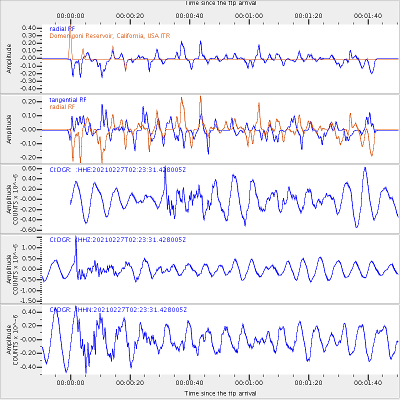
DGR Domenigoni Reservoir, California, USA - Earthquake Result Viewer
*The percent match for this event was below the threshold and hence no stack was calculated.
| Earthquake location: |
Fiji Islands Region |
| Earthquake latitude/longitude: |
-18.5/-177.9 |
| Earthquake time(UTC): |
2021/02/27 (058) 02:13:01 GMT |
| Earthquake Depth: |
554 km |
| Earthquake Magnitude: |
5.6 mww |
| Earthquake Catalog/Contributor: |
NEIC PDE/us |
|
| Network: |
CI Caltech Regional Seismic Network |
| Station: |
DGR Domenigoni Reservoir, California, USA |
| Lat/Lon: |
33.65 N/117.01 W |
| Elevation: |
609 m |
|
| Distance: |
77.8 deg |
| Az: |
48.228 deg |
| Baz: |
238.04 deg |
| Ray Param: |
$rayparam |
*The percent match for this event was below the threshold and hence was not used in the summary stack. |
|
| Radial Match: |
64.292435 % |
| Radial Bump: |
400 |
| Transverse Match: |
70.103004 % |
| Transverse Bump: |
400 |
| SOD ConfigId: |
23341671 |
| Insert Time: |
2021-03-13 03:23:21.175 +0000 |
| GWidth: |
2.5 |
| Max Bumps: |
400 |
| Tol: |
0.001 |
|
Signal To Noise
| Channel | StoN | STA | LTA |
| CI:DGR: :HHZ:20210227T02:23:31.428005Z | 1.6381936 | 4.6119544E-7 | 2.815268E-7 |
| CI:DGR: :HHN:20210227T02:23:31.428005Z | 1.2996306 | 2.5787034E-7 | 1.9841816E-7 |
| CI:DGR: :HHE:20210227T02:23:31.428005Z | 1.1022387 | 2.1858128E-7 | 1.9830667E-7 |
| Arrivals |
| Ps | |
| PpPs | |
| PsPs/PpSs | |


