You are here: Home > Network List > CI - Caltech Regional Seismic Network Stations List
> Station BAR Barrett, Tecate, CA, USA > Earthquake Result Viewer
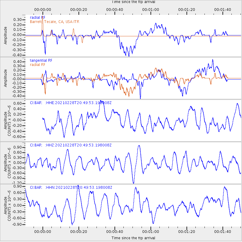
BAR Barrett, Tecate, CA, USA - Earthquake Result Viewer
*The percent match for this event was below the threshold and hence no stack was calculated.
| Earthquake location: |
Southeast Of Loyalty Islands |
| Earthquake latitude/longitude: |
-22.7/172.4 |
| Earthquake time(UTC): |
2021/02/28 (059) 20:37:38 GMT |
| Earthquake Depth: |
10 km |
| Earthquake Magnitude: |
5.5 mww |
| Earthquake Catalog/Contributor: |
NEIC PDE/us |
|
| Network: |
CI Caltech Regional Seismic Network |
| Station: |
BAR Barrett, Tecate, CA, USA |
| Lat/Lon: |
32.68 N/116.67 W |
| Elevation: |
521 m |
|
| Distance: |
87.2 deg |
| Az: |
52.946 deg |
| Baz: |
240.931 deg |
| Ray Param: |
$rayparam |
*The percent match for this event was below the threshold and hence was not used in the summary stack. |
|
| Radial Match: |
66.35659 % |
| Radial Bump: |
400 |
| Transverse Match: |
32.540257 % |
| Transverse Bump: |
400 |
| SOD ConfigId: |
23341671 |
| Insert Time: |
2021-03-14 21:43:31.451 +0000 |
| GWidth: |
2.5 |
| Max Bumps: |
400 |
| Tol: |
0.001 |
|
Signal To Noise
| Channel | StoN | STA | LTA |
| CI:BAR: :HHZ:20210228T20:49:53.198008Z | 0.49200374 | 1.9114891E-7 | 3.885111E-7 |
| CI:BAR: :HHN:20210228T20:49:53.198008Z | 2.1516874 | 6.3784586E-7 | 2.9643985E-7 |
| CI:BAR: :HHE:20210228T20:49:53.198008Z | 2.6389368 | 5.953793E-7 | 2.2561333E-7 |
| Arrivals |
| Ps | |
| PpPs | |
| PsPs/PpSs | |


