You are here: Home > Network List > UW - Pacific Northwest Regional Seismic Network Stations List
> Station FISH Seaside, OR, USA > Earthquake Result Viewer
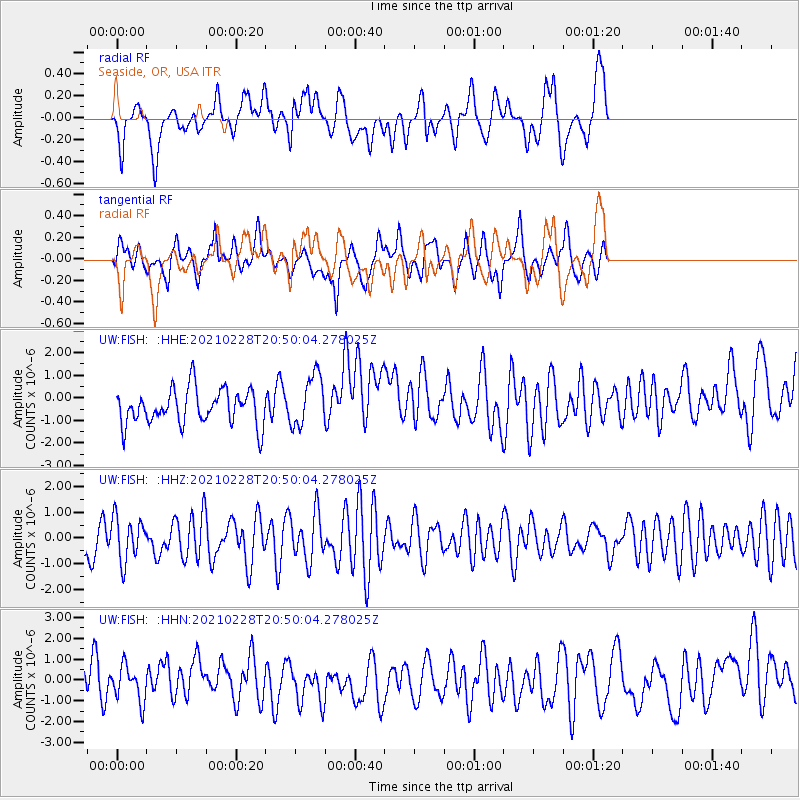
FISH Seaside, OR, USA - Earthquake Result Viewer
*The percent match for this event was below the threshold and hence no stack was calculated.
| Earthquake location: |
Southeast Of Loyalty Islands |
| Earthquake latitude/longitude: |
-22.7/172.4 |
| Earthquake time(UTC): |
2021/02/28 (059) 20:37:38 GMT |
| Earthquake Depth: |
10 km |
| Earthquake Magnitude: |
5.5 mww |
| Earthquake Catalog/Contributor: |
NEIC PDE/us |
|
| Network: |
UW Pacific Northwest Regional Seismic Network |
| Station: |
FISH Seaside, OR, USA |
| Lat/Lon: |
45.93 N/123.56 W |
| Elevation: |
325 m |
|
| Distance: |
89.6 deg |
| Az: |
38.876 deg |
| Baz: |
236.159 deg |
| Ray Param: |
$rayparam |
*The percent match for this event was below the threshold and hence was not used in the summary stack. |
|
| Radial Match: |
50.53862 % |
| Radial Bump: |
400 |
| Transverse Match: |
50.522594 % |
| Transverse Bump: |
400 |
| SOD ConfigId: |
23341671 |
| Insert Time: |
2021-03-14 21:50:15.246 +0000 |
| GWidth: |
2.5 |
| Max Bumps: |
400 |
| Tol: |
0.001 |
|
Signal To Noise
| Channel | StoN | STA | LTA |
| UW:FISH: :HHZ:20210228T20:50:04.278025Z | 1.0909641 | 8.475042E-7 | 7.768397E-7 |
| UW:FISH: :HHN:20210228T20:50:04.278025Z | 0.9361808 | 8.460812E-7 | 9.037583E-7 |
| UW:FISH: :HHE:20210228T20:50:04.278025Z | 1.4991004 | 1.1570264E-6 | 7.718138E-7 |
| Arrivals |
| Ps | |
| PpPs | |
| PsPs/PpSs | |


