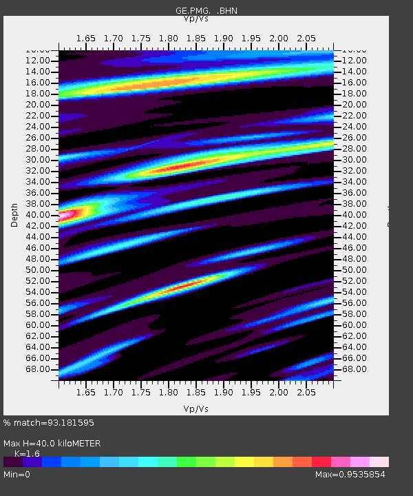
PMG IRIS/GEOFON/PACIFIC21 Station Port Moresby, PNG - Earthquake Result Viewer

Earthquake location: Rat Islands, Aleutian Islands
Earthquake latitude/longitude: 51.3/179.5
Earthquake time(UTC): 1997/03/26 (085) 02:08:57 GMT
Earthquake Depth: 33 km
Earthquake Magnitude: 6.0 MB, 6.5 MS, 6.7 UNKNOWN, 6.3 ML
Earthquake Catalog/Contributor: WHDF/NEIC
Network: GE GEOFON
Station: PMG IRIS/GEOFON/PACIFIC21 Station Port Moresby, PNG
Lat/Lon: 9.41 S/147.15 E
Elevation: 67 m
Distance: 66.6 deg
Az: 215.151 deg
Baz: 21.499 deg
Ray Param: 0.057451263
Estimated Moho Depth: 40.0 km
Estimated Crust Vp/Vs: 1.60
Assumed Crust Vp: 6.122 km/s
Estimated Crust Vs: 3.826 km/s
Estimated Crust Poisson's Ratio: 0.18
Radial Match: 93.181595 %
Radial Bump: 400
Transverse Match: 82.37033 %
Transverse Bump: 400
SOD ConfigId: 4480
Insert Time: 2010-03-09 05:47:39.190 +0000
GWidth: 2.5
Max Bumps: 400
Tol: 0.001

Signal To Noise

ChannelStoNSTALTA
GE:PMG: :BHN:19970326T02:19:13.416003Z8.9382097.3412036E-78.213283E-8
GE:PMG: :BHE:19970326T02:19:13.416003Z5.09114652.5057798E-74.9218382E-8
GE:PMG: :BHZ:19970326T02:19:13.416003Z1.4686871.0288896E-77.0055066E-8
Arrivals
Ps4.1 SECOND
PpPs16 SECOND
PsPs/PpSs20 SECOND