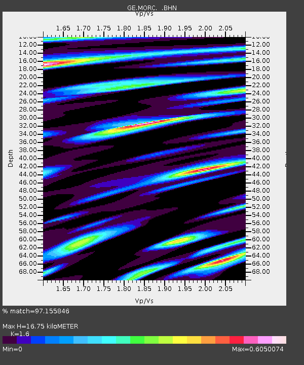
MORC GEOFON Station Moravsky Beroun, Czech Republic - Earthquake Result Viewer

Earthquake location: Near East Coast Of Honshu, Japan
Earthquake latitude/longitude: 36.5/141.0
Earthquake time(UTC): 2000/07/20 (202) 18:39:18 GMT
Earthquake Depth: 47 km
Earthquake Magnitude: 6.1 MB, 5.4 MS, 6.1 ME, 6.0 MW
Earthquake Catalog/Contributor: WHDF/NEIC
Network: GE GEOFON
Station: MORC GEOFON Station Moravsky Beroun, Czech Republic
Lat/Lon: 49.78 N/17.54 E
Elevation: 740 m
Distance: 80.6 deg
Az: 326.747 deg
Baz: 42.955 deg
Ray Param: 0.04808229
Estimated Moho Depth: 16.75 km
Estimated Crust Vp/Vs: 1.60
Assumed Crust Vp: 6.276 km/s
Estimated Crust Vs: 3.922 km/s
Estimated Crust Poisson's Ratio: 0.18
Radial Match: 97.155846 %
Radial Bump: 381
Transverse Match: 93.30887 %
Transverse Bump: 400
SOD ConfigId: 3744
Insert Time: 2010-03-09 05:57:46.203 +0000
GWidth: 2.5
Max Bumps: 400
Tol: 0.001

Signal To Noise

ChannelStoNSTALTA
GE:MORC: :BHN:20000720T18:50:55.403008Z19.4469264.87595E-72.5073113E-8
GE:MORC: :BHE:20000720T18:50:55.403008Z21.6811125.229325E-72.4119267E-8
GE:MORC: :BHZ:20000720T18:50:55.403008Z50.3627621.6139162E-63.2045822E-8
Arrivals
Ps1.6 SECOND
PpPs6.7 SECOND
PsPs/PpSs8.4 SECOND