MORC GEOFON Station Moravsky Beroun, Czech Republic - Earthquake Result Viewer
Earthquake location: Near Coast Of Jalisco, Mexico
Earthquake latitude/longitude: 18.8/-104.1
Earthquake time(UTC): 2003/01/22 (022) 02:06:34 GMT
Earthquake Depth: 24 km
Earthquake Magnitude: 6.5 MB, 7.6 MS, 7.6 MW, 7.4 MW
Earthquake Catalog/Contributor: WHDF/NEIC
Network: GE GEOFON
Station: MORC GEOFON Station Moravsky Beroun, Czech Republic
Lat/Lon: 49.78 N/17.54 E
Elevation: 740 m
Distance: 94.5 deg
Az: 33.615 deg
Baz: 305.992 deg
Ray Param: 0.04101738
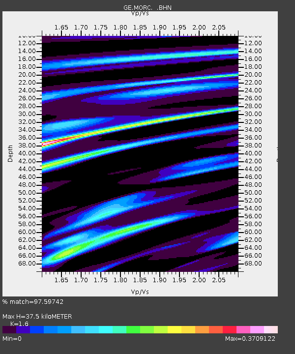
Estimated Moho Depth: 37.5 km
Estimated Crust Vp/Vs: 1.60
Assumed Crust Vp: 6.276 km/s
Estimated Crust Vs: 3.922 km/s
Estimated Crust Poisson's Ratio: 0.18
Radial Match: 97.59742 %
Radial Bump: 312
Transverse Match: 93.36019 %
Transverse Bump: 343
SOD ConfigId: 4714
Insert Time: 2010-03-09 06:00:23.456 +0000
GWidth: 2.5
Max Bumps: 400
Tol: 0.001

Signal To Noise

ChannelStoNSTALTA
GE:MORC: :BHN:20030122T02:19:21.341995Z2.04267644.5294772E-72.2174228E-7
GE:MORC: :BHE:20030122T02:19:21.341995Z1.81139613.6855297E-72.0346349E-7
GE:MORC: :BHZ:20030122T02:19:21.341995Z5.5143131.3449021E-62.4389294E-7
Arrivals
Ps3.7 SECOND
PpPs15 SECOND
PsPs/PpSs19 SECOND