MALT GEOFON/MedNet Station Malatya, Turkey - Earthquake Result Viewer
Earthquake location: Minahassa Peninsula, Sulawesi
Earthquake latitude/longitude: 0.5/119.9
Earthquake time(UTC): 2002/06/16 (167) 00:00:25 GMT
Earthquake Depth: 35 km
Earthquake Magnitude: 5.7 MB, 5.5 MS, 5.9 MW, 5.8 MW
Earthquake Catalog/Contributor: WHDF/NEIC
Network: GE GEOFON
Station: MALT GEOFON/MedNet Station Malatya, Turkey
Lat/Lon: 38.31 N/38.43 E
Elevation: 1120 m
Distance: 83.0 deg
Az: 308.39 deg
Baz: 94.9 deg
Ray Param: 0.046451874
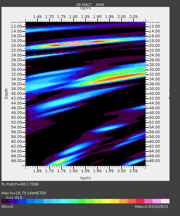
Estimated Moho Depth: 18.75 km
Estimated Crust Vp/Vs: 1.82
Assumed Crust Vp: 6.35 km/s
Estimated Crust Vs: 3.499 km/s
Estimated Crust Poisson's Ratio: 0.28
Radial Match: 88.17066 %
Radial Bump: 400
Transverse Match: 79.67927 %
Transverse Bump: 400
SOD ConfigId: 20082
Insert Time: 2010-03-09 06:46:52.775 +0000
GWidth: 2.5
Max Bumps: 400
Tol: 0.001

Signal To Noise

ChannelStoNSTALTA
GE:MALT: :BHN:20020616T00:12:16.102014Z0.405202181.7419138E-84.2988756E-8
GE:MALT: :BHE:20020616T00:12:16.102014Z3.14100438.306917E-82.644669E-8
GE:MALT: :BHZ:20020616T00:12:16.102014Z7.62213473.7006325E-74.855113E-8
Arrivals
Ps2.5 SECOND
PpPs8.1 SECOND
PsPs/PpSs11 SECOND