MALT GEOFON/MedNet Station Malatya, Turkey - Earthquake Result Viewer
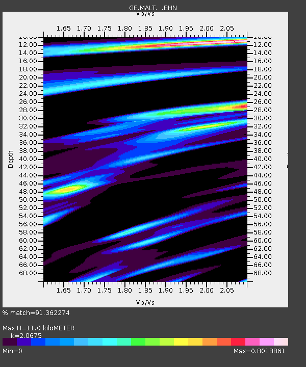
Earthquake location: Near East Coast Of Honshu, Japan
Earthquake latitude/longitude: 38.5/141.9
Earthquake time(UTC): 2005/12/16 (350) 18:32:16 GMT
Earthquake Depth: 43 km
Earthquake Magnitude: 5.8 MB, 5.6 MS, 6.0 MW, 5.9 MW
Earthquake Catalog/Contributor: WHDF/NEIC
Network: GE GEOFON
Station: MALT GEOFON/MedNet Station Malatya, Turkey
Lat/Lon: 38.31 N/38.43 E
Elevation: 1120 m
Distance: 76.2 deg
Az: 308.016 deg
Baz: 51.791 deg
Ray Param: 0.051100343
Estimated Moho Depth: 11.0 km
Estimated Crust Vp/Vs: 2.07
Assumed Crust Vp: 6.35 km/s
Estimated Crust Vs: 3.071 km/s
Estimated Crust Poisson's Ratio: 0.35
Radial Match: 91.362274 %
Radial Bump: 400
Transverse Match: 81.966064 %
Transverse Bump: 400
SOD ConfigId: 2422
Insert Time: 2010-03-09 06:49:05.434 +0000
GWidth: 2.5
Max Bumps: 400
Tol: 0.001

Signal To Noise

ChannelStoNSTALTA
GE:MALT: :BHN:20051216T18:43:29.091021Z3.12556891.9601966E-76.271487E-8
GE:MALT: :BHE:20051216T18:43:29.091021Z3.26793381.8154793E-75.555435E-8
GE:MALT: :BHZ:20051216T18:43:29.091021Z13.62505158.01936E-75.8857466E-8
Arrivals
Ps1.9 SECOND
PpPs5.2 SECOND
PsPs/PpSs7.1 SECOND