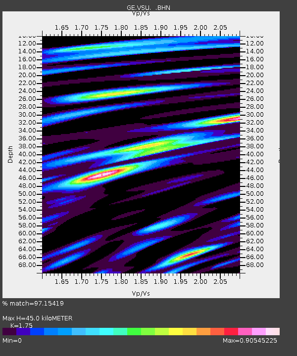
VSU GEOFON Station Vasula, Estonia - Earthquake Result Viewer

Earthquake location: South Of Aleutian Islands
Earthquake latitude/longitude: 51.8/-166.3
Earthquake time(UTC): 2004/08/07 (220) 09:30:16 GMT
Earthquake Depth: 8.0 km
Earthquake Magnitude: 6.3 MB, 5.4 MS, 6.0 MW, 6.0 MW
Earthquake Catalog/Contributor: WHDF/NEIC
Network: GE GEOFON
Station: VSU GEOFON Station Vasula, Estonia
Lat/Lon: 58.46 N/26.73 E
Elevation: 63 m
Distance: 69.6 deg
Az: 352.728 deg
Baz: 8.61 deg
Ray Param: 0.055524424
Estimated Moho Depth: 45.0 km
Estimated Crust Vp/Vs: 1.75
Assumed Crust Vp: 6.552 km/s
Estimated Crust Vs: 3.744 km/s
Estimated Crust Poisson's Ratio: 0.26
Radial Match: 97.15419 %
Radial Bump: 385
Transverse Match: 89.06599 %
Transverse Bump: 400
SOD ConfigId: 2459
Insert Time: 2010-03-09 06:53:28.068 +0000
GWidth: 2.5
Max Bumps: 400
Tol: 0.001

Signal To Noise

ChannelStoNSTALTA
GE:VSU: :BHN:20040807T09:40:55.445005Z22.0878371.0570012E-64.7854446E-8
GE:VSU: :BHE:20040807T09:40:55.445005Z1.9071031.2239859E-76.418038E-8
GE:VSU: :BHZ:20040807T09:40:55.445005Z46.0111661.8678548E-64.0595683E-8
Arrivals
Ps5.4 SECOND
PpPs18 SECOND
PsPs/PpSs24 SECOND