SUMG GEOFON Station Summit Camp, Greenland - Earthquake Result Viewer
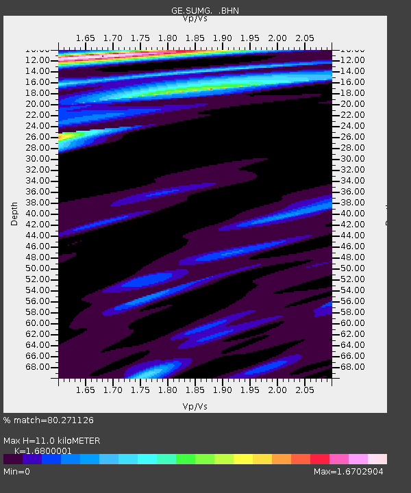
Earthquake location: Near East Coast Of Honshu, Japan
Earthquake latitude/longitude: 35.6/140.4
Earthquake time(UTC): 2005/04/10 (100) 22:22:15 GMT
Earthquake Depth: 43 km
Earthquake Magnitude: 6.1 MB, 5.4 MS, 6.0 MW, 6.0 MW
Earthquake Catalog/Contributor: WHDF/NEIC
Network: GE GEOFON
Station: SUMG GEOFON Station Summit Camp, Greenland
Lat/Lon: 72.58 N/38.45 W
Elevation: 3260 m
Distance: 72.1 deg
Az: 359.638 deg
Baz: 0.98 deg
Ray Param: 0.053802587
Estimated Moho Depth: 11.0 km
Estimated Crust Vp/Vs: 1.68
Assumed Crust Vp: 6.261 km/s
Estimated Crust Vs: 3.727 km/s
Estimated Crust Poisson's Ratio: 0.23
Radial Match: 80.271126 %
Radial Bump: 400
Transverse Match: 63.543697 %
Transverse Bump: 400
SOD ConfigId: 2459
Insert Time: 2010-03-09 06:57:49.275 +0000
GWidth: 2.5
Max Bumps: 400
Tol: 0.001

Signal To Noise

ChannelStoNSTALTA
GE:SUMG: :BHN:20050410T22:33:04.743997Z0.989245246.642252E-76.7144646E-7
GE:SUMG: :BHE:20050410T22:33:04.743997Z0.595865254.4438931E-77.4578827E-7
GE:SUMG: :BHZ:20050410T22:33:04.743997Z3.3542261.6642668E-64.961701E-7
Arrivals
Ps1.2 SECOND
PpPs4.5 SECOND
PsPs/PpSs5.8 SECOND