You are here: Home > Network List > UU - University of Utah Regional Network Stations List
> Station CCUT Cedar City, UT, USA > Earthquake Result Viewer
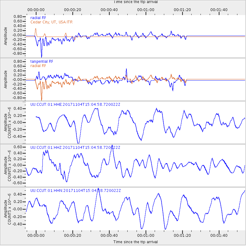
CCUT Cedar City, UT, USA - Earthquake Result Viewer
*The percent match for this event was below the threshold and hence no stack was calculated.
| Earthquake location: |
Southeast Of Loyalty Islands |
| Earthquake latitude/longitude: |
-21.7/169.1 |
| Earthquake time(UTC): |
2017/11/04 (308) 14:52:14 GMT |
| Earthquake Depth: |
10 km |
| Earthquake Magnitude: |
5.4 Mww |
| Earthquake Catalog/Contributor: |
NEIC PDE/us |
|
| Network: |
UU University of Utah Regional Network |
| Station: |
CCUT Cedar City, UT, USA |
| Lat/Lon: |
37.55 N/113.36 W |
| Elevation: |
2127 m |
|
| Distance: |
93.6 deg |
| Az: |
51.038 deg |
| Baz: |
245.493 deg |
| Ray Param: |
$rayparam |
*The percent match for this event was below the threshold and hence was not used in the summary stack. |
|
| Radial Match: |
84.07455 % |
| Radial Bump: |
400 |
| Transverse Match: |
73.52268 % |
| Transverse Bump: |
400 |
| SOD ConfigId: |
2429771 |
| Insert Time: |
2017-12-03 18:56:22.534 +0000 |
| GWidth: |
2.5 |
| Max Bumps: |
400 |
| Tol: |
0.001 |
|
Signal To Noise
| Channel | StoN | STA | LTA |
| UU:CCUT:01:HHZ:20171104T15:04:58.720022Z | 1.58345 | 2.3646642E-7 | 1.4933622E-7 |
| UU:CCUT:01:HHN:20171104T15:04:58.720022Z | 1.1630677 | 2.2300894E-7 | 1.9174202E-7 |
| UU:CCUT:01:HHE:20171104T15:04:58.720022Z | 1.7078863 | 3.4639442E-7 | 2.0282053E-7 |
| Arrivals |
| Ps | |
| PpPs | |
| PsPs/PpSs | |


