You are here: Home > Network List > AZ - ANZA Regional Network Stations List
> Station SMER AZ.SMER > Earthquake Result Viewer
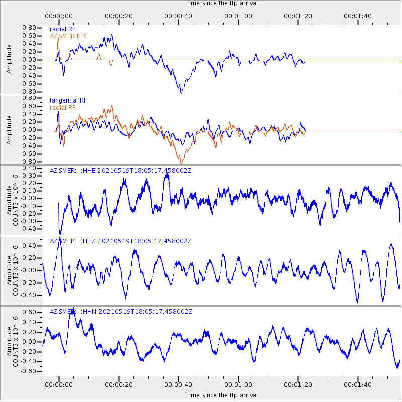
SMER AZ.SMER - Earthquake Result Viewer
*The percent match for this event was below the threshold and hence no stack was calculated.
| Earthquake location: |
Southern East Pacific Rise |
| Earthquake latitude/longitude: |
-36.8/-110.4 |
| Earthquake time(UTC): |
2021/05/19 (139) 17:54:36 GMT |
| Earthquake Depth: |
10 km |
| Earthquake Magnitude: |
5.1 mb |
| Earthquake Catalog/Contributor: |
NEIC PDE/us |
|
| Network: |
AZ ANZA Regional Network |
| Station: |
SMER AZ.SMER |
| Lat/Lon: |
33.46 N/117.17 W |
| Elevation: |
355 m |
|
| Distance: |
70.1 deg |
| Az: |
353.958 deg |
| Baz: |
174.196 deg |
| Ray Param: |
$rayparam |
*The percent match for this event was below the threshold and hence was not used in the summary stack. |
|
| Radial Match: |
45.845722 % |
| Radial Bump: |
400 |
| Transverse Match: |
26.141415 % |
| Transverse Bump: |
400 |
| SOD ConfigId: |
24890451 |
| Insert Time: |
2021-06-02 18:32:06.963 +0000 |
| GWidth: |
2.5 |
| Max Bumps: |
400 |
| Tol: |
0.001 |
|
Signal To Noise
| Channel | StoN | STA | LTA |
| AZ:SMER: :HHZ:20210519T18:05:17.458002Z | 1.6227745 | 2.7283753E-7 | 1.6813028E-7 |
| AZ:SMER: :HHN:20210519T18:05:17.458002Z | 1.7707235 | 4.9421186E-7 | 2.7910164E-7 |
| AZ:SMER: :HHE:20210519T18:05:17.458002Z | 1.1268044 | 1.6915978E-7 | 1.5012347E-7 |
| Arrivals |
| Ps | |
| PpPs | |
| PsPs/PpSs | |


