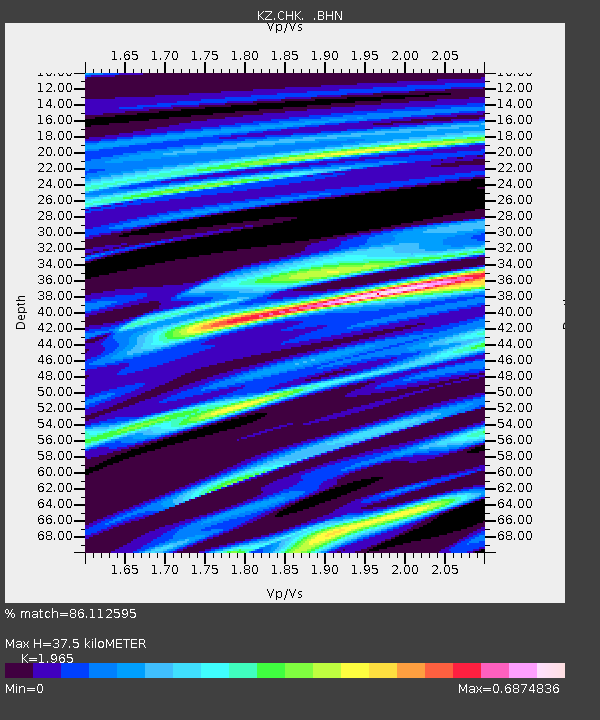
CHK Chkalovo, Kazakstan - Earthquake Result Viewer

Earthquake location: Northern Sumatra, Indonesia
Earthquake latitude/longitude: 3.4/97.9
Earthquake time(UTC): 1996/10/10 (284) 15:21:04 GMT
Earthquake Depth: 33 km
Earthquake Magnitude: 5.7 MB, 6.1 MS, 6.3 UNKNOWN, 6.2 MW
Earthquake Catalog/Contributor: WHDF/NEIC
Network: KZ Kazakhstan Network
Station: CHK Chkalovo, Kazakstan
Lat/Lon: 53.68 N/70.62 E
Elevation: 120 m
Distance: 54.9 deg
Az: 340.489 deg
Baz: 145.917 deg
Ray Param: 0.06511573
Estimated Moho Depth: 37.5 km
Estimated Crust Vp/Vs: 1.97
Assumed Crust Vp: 6.552 km/s
Estimated Crust Vs: 3.335 km/s
Estimated Crust Poisson's Ratio: 0.33
Radial Match: 86.112595 %
Radial Bump: 400
Transverse Match: 49.096016 %
Transverse Bump: 400
SOD ConfigId: 6273
Insert Time: 2010-03-09 08:55:32.259 +0000
GWidth: 2.5
Max Bumps: 400
Tol: 0.001

Signal To Noise

ChannelStoNSTALTA
KZ:CHK: :BHN:19961010T15:30:01.145007Z2.73362852.3626009E-78.6427285E-8
KZ:CHK: :BHE:19961010T15:30:01.145007Z1.78643623.237455E-71.8122421E-7
KZ:CHK: :BHZ:19961010T15:30:01.145007Z3.19507273.8319968E-71.1993458E-7
Arrivals
Ps5.8 SECOND
PpPs16 SECOND
PsPs/PpSs22 SECOND