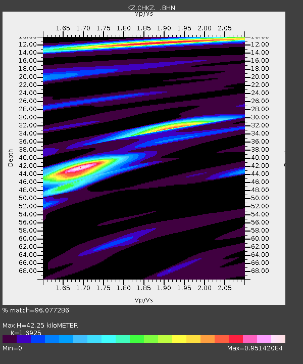
CHKZ Chkalovo, Kazakstan - Earthquake Result Viewer

Earthquake location: Rat Islands, Aleutian Islands
Earthquake latitude/longitude: 51.2/179.3
Earthquake time(UTC): 2002/11/07 (311) 15:14:06 GMT
Earthquake Depth: 33 km
Earthquake Magnitude: 5.8 MB, 6.4 MS, 6.6 MW, 6.5 MW
Earthquake Catalog/Contributor: WHDF/NEIC
Network: KZ Kazakhstan Network
Station: CHKZ Chkalovo, Kazakstan
Lat/Lon: 53.68 N/70.62 E
Elevation: 120 m
Distance: 59.7 deg
Az: 319.259 deg
Baz: 43.649 deg
Ray Param: 0.061962422
Estimated Moho Depth: 42.25 km
Estimated Crust Vp/Vs: 1.69
Assumed Crust Vp: 6.552 km/s
Estimated Crust Vs: 3.871 km/s
Estimated Crust Poisson's Ratio: 0.23
Radial Match: 96.077286 %
Radial Bump: 320
Transverse Match: 78.733955 %
Transverse Bump: 400
SOD ConfigId: 4714
Insert Time: 2010-03-09 09:05:28.405 +0000
GWidth: 2.5
Max Bumps: 400
Tol: 0.001

Signal To Noise

ChannelStoNSTALTA
KZ:CHKZ: :BHN:20021107T15:23:37.252004Z7.34289265.944299E-78.095309E-8
KZ:CHKZ: :BHE:20021107T15:23:37.252004Z6.178095.624053E-79.1032234E-8
KZ:CHKZ: :BHZ:20021107T15:23:37.252004Z11.2942531.6209525E-61.4352011E-7
Arrivals
Ps4.7 SECOND
PpPs16 SECOND
PsPs/PpSs21 SECOND