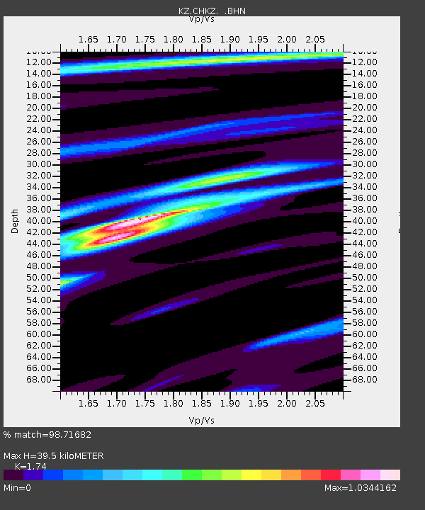
CHKZ Chkalovo, Kazakstan - Earthquake Result Viewer

Earthquake location: Rat Islands, Aleutian Islands
Earthquake latitude/longitude: 51.3/178.0
Earthquake time(UTC): 2003/03/17 (076) 16:36:17 GMT
Earthquake Depth: 33 km
Earthquake Magnitude: 5.9 MB, 6.7 MS, 7.0 MW, 7.0 MW
Earthquake Catalog/Contributor: WHDF/NEIC
Network: KZ Kazakhstan Network
Station: CHKZ Chkalovo, Kazakstan
Lat/Lon: 53.68 N/70.62 E
Elevation: 120 m
Distance: 59.1 deg
Az: 318.555 deg
Baz: 44.338 deg
Ray Param: 0.062368646
Estimated Moho Depth: 39.5 km
Estimated Crust Vp/Vs: 1.74
Assumed Crust Vp: 6.552 km/s
Estimated Crust Vs: 3.766 km/s
Estimated Crust Poisson's Ratio: 0.25
Radial Match: 98.71682 %
Radial Bump: 267
Transverse Match: 90.32876 %
Transverse Bump: 400
SOD ConfigId: 4714
Insert Time: 2010-03-09 09:06:17.648 +0000
GWidth: 2.5
Max Bumps: 400
Tol: 0.001

Signal To Noise

ChannelStoNSTALTA
KZ:CHKZ: :BHN:20030317T16:45:43.554019Z27.0697441.9810927E-67.3184765E-8
KZ:CHKZ: :BHE:20030317T16:45:43.554019Z36.3060531.845584E-65.083406E-8
KZ:CHKZ: :BHZ:20030317T16:45:43.554019Z67.637375.4888656E-68.115138E-8
Arrivals
Ps4.7 SECOND
PpPs16 SECOND
PsPs/PpSs20 SECOND