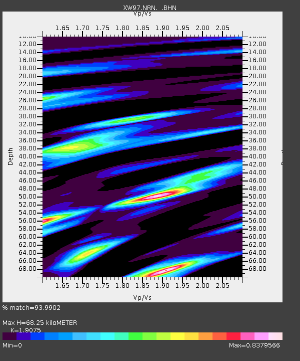
NRN XW.NRN - Earthquake Result Viewer

Earthquake location: Minahassa Peninsula, Sulawesi
Earthquake latitude/longitude: 1.2/122.5
Earthquake time(UTC): 1997/11/25 (329) 12:14:33 GMT
Earthquake Depth: 24 km
Earthquake Magnitude: 6.1 MB, 6.8 MS, 7.1 UNKNOWN, 6.7 ME
Earthquake Catalog/Contributor: WHDF/NEIC
Network: XW Tien Shan Continental Dynamics
Station: NRN XW.NRN
Lat/Lon: 41.42 N/75.98 E
Elevation: 2019 m
Distance: 57.9 deg
Az: 319.874 deg
Baz: 121.046 deg
Ray Param: 0.063152246
Estimated Moho Depth: 68.25 km
Estimated Crust Vp/Vs: 1.91
Assumed Crust Vp: 6.491 km/s
Estimated Crust Vs: 3.403 km/s
Estimated Crust Poisson's Ratio: 0.31
Radial Match: 93.9902 %
Radial Bump: 363
Transverse Match: 91.31906 %
Transverse Bump: 400
SOD ConfigId: 4480
Insert Time: 2010-02-26 15:39:36.436 +0000
GWidth: 2.5
Max Bumps: 400
Tol: 0.001

Signal To Noise

ChannelStoNSTALTA
XW:NRN: :BHN:19971125T12:23:52.688013Z3.59811231.5119564E-74.202082E-8
XW:NRN: :BHE:19971125T12:23:52.688013Z0.70617432.670687E-83.781909E-8
XW:NRN: :BHZ:19971125T12:23:52.688013Z2.78579339.192579E-83.2998067E-8
Arrivals
Ps10.0 SECOND
PpPs29 SECOND
PsPs/PpSs39 SECOND