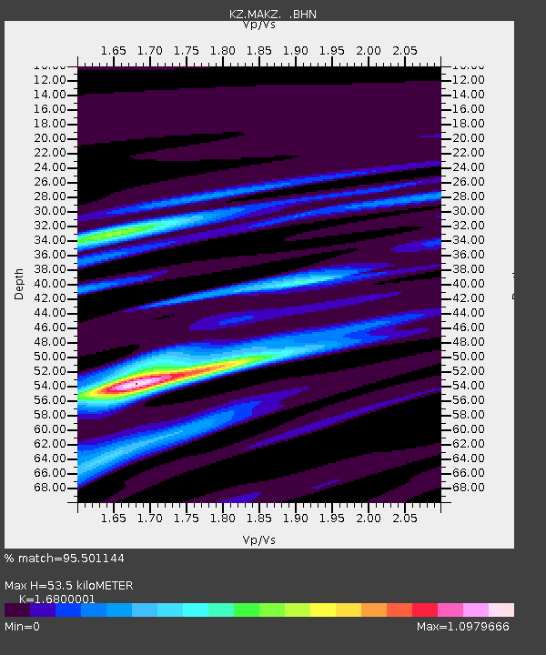
MAKZ Makanchi, Kazakstan - Earthquake Result Viewer

Earthquake location: Rat Islands, Aleutian Islands
Earthquake latitude/longitude: 51.3/179.5
Earthquake time(UTC): 1997/03/26 (085) 02:08:57 GMT
Earthquake Depth: 33 km
Earthquake Magnitude: 6.0 MB, 6.5 MS, 6.7 UNKNOWN, 6.3 ML
Earthquake Catalog/Contributor: WHDF/NEIC
Network: KZ Kazakhstan Network
Station: MAKZ Makanchi, Kazakstan
Lat/Lon: 46.81 N/81.98 E
Elevation: 600 m
Distance: 59.4 deg
Az: 307.726 deg
Baz: 46.325 deg
Ray Param: 0.062144496
Estimated Moho Depth: 53.5 km
Estimated Crust Vp/Vs: 1.68
Assumed Crust Vp: 6.571 km/s
Estimated Crust Vs: 3.911 km/s
Estimated Crust Poisson's Ratio: 0.23
Radial Match: 95.501144 %
Radial Bump: 400
Transverse Match: 74.198296 %
Transverse Bump: 400
SOD ConfigId: 4480
Insert Time: 2010-03-09 09:37:30.596 +0000
GWidth: 2.5
Max Bumps: 400
Tol: 0.001

Signal To Noise

ChannelStoNSTALTA
KZ:MAKZ: :BHN:19970326T02:18:25.778003Z29.7284562.4503531E-68.24245E-8
KZ:MAKZ: :BHE:19970326T02:18:25.778003Z13.5414858.311373E-76.1377115E-8
KZ:MAKZ: :BHZ:19970326T02:18:25.778003Z7.9525775.9551326E-77.488305E-8
Arrivals
Ps5.8 SECOND
PpPs21 SECOND
PsPs/PpSs27 SECOND