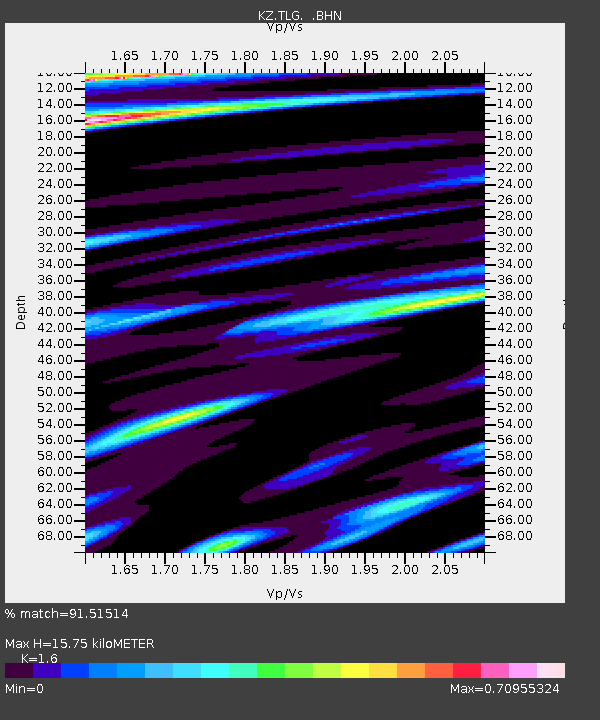
TLG Talgar, Kazakstan - Earthquake Result Viewer

Earthquake location: Kodiak Island Region, Alaska
Earthquake latitude/longitude: 57.1/-153.2
Earthquake time(UTC): 2001/01/10 (010) 16:02:44 GMT
Earthquake Depth: 33 km
Earthquake Magnitude: 6.2 MB, 6.8 MS, 7.1 MW, 6.8 ML
Earthquake Catalog/Contributor: WHDF/NEIC
Network: KZ Kazakhstan Network
Station: TLG Talgar, Kazakstan
Lat/Lon: 43.23 N/77.22 E
Elevation: 1120 m
Distance: 71.5 deg
Az: 323.545 deg
Baz: 26.356 deg
Ray Param: 0.05424784
Estimated Moho Depth: 15.75 km
Estimated Crust Vp/Vs: 1.60
Assumed Crust Vp: 6.306 km/s
Estimated Crust Vs: 3.941 km/s
Estimated Crust Poisson's Ratio: 0.18
Radial Match: 91.51514 %
Radial Bump: 392
Transverse Match: 84.49164 %
Transverse Bump: 400
SOD ConfigId: 3744
Insert Time: 2010-03-09 10:05:48.577 +0000
GWidth: 2.5
Max Bumps: 400
Tol: 0.001

Signal To Noise

ChannelStoNSTALTA
KZ:TLG: :BHN:20010110T16:13:30.547017Z4.64933871.4156092E-63.0447538E-7
KZ:TLG: :BHE:20010110T16:13:30.547017Z2.45407844.6355373E-71.8889116E-7
KZ:TLG: :BHZ:20010110T16:13:30.547017Z8.1449693.0912513E-63.7952893E-7
Arrivals
Ps1.6 SECOND
PpPs6.3 SECOND
PsPs/PpSs7.8 SECOND