POGR XW.POGR - Earthquake Result Viewer
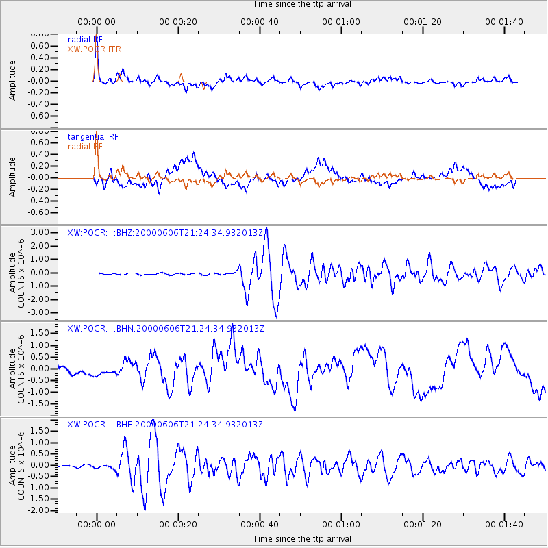
Earthquake location: Sea Of Japan
Earthquake latitude/longitude: 36.8/135.5
Earthquake time(UTC): 2000/06/06 (158) 21:16:42 GMT
Earthquake Depth: 10 km
Earthquake Magnitude: 5.7 MB, 5.3 MS, 5.9 MW, 5.8 MW
Earthquake Catalog/Contributor: WHDF/NEIC
Network: XW Tien Shan Continental Dynamics
Station: POGR XW.POGR
Lat/Lon: 41.02 N/75.55 E
Elevation: 2357 m
Distance: 46.0 deg
Az: 294.485 deg
Baz: 74.798 deg
Ray Param: 0.07091104
Estimated Moho Depth: 41.5 km
Estimated Crust Vp/Vs: 1.79
Assumed Crust Vp: 6.491 km/s
Estimated Crust Vs: 3.621 km/s
Estimated Crust Poisson's Ratio: 0.27
Radial Match: 92.04339 %
Radial Bump: 400
Transverse Match: 54.827366 %
Transverse Bump: 400
SOD ConfigId: 20082
Insert Time: 2010-02-26 15:45:23.315 +0000
GWidth: 2.5
Max Bumps: 400
Tol: 0.001

Signal To Noise

ChannelStoNSTALTA
XW:POGR: :BHN:20000606T21:24:34.932013Z0.697480262.4886046E-73.567993E-7
XW:POGR: :BHE:20000606T21:24:34.932013Z3.8184438.650117E-82.2653518E-8
XW:POGR: :BHZ:20000606T21:24:34.932013Z2.28971961.25661E-75.4880523E-8
Arrivals
Ps5.4 SECOND
PpPs17 SECOND
PsPs/PpSs22 SECOND