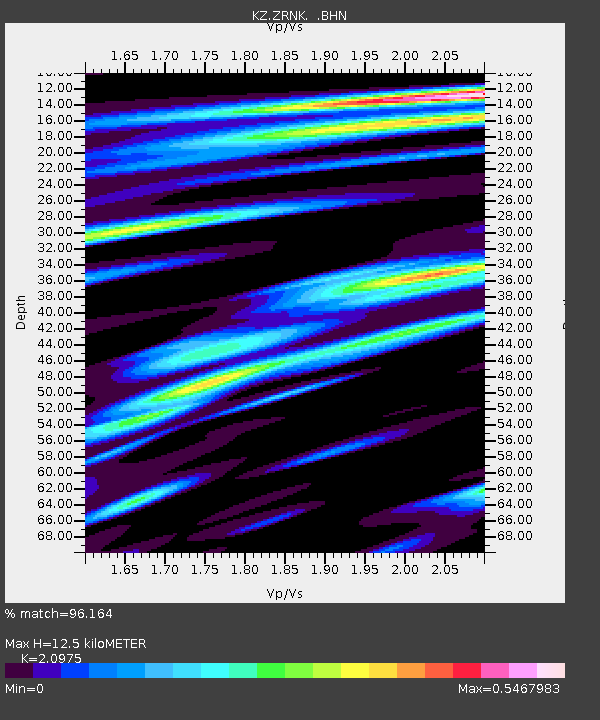
ZRNK Zerenda, Kazakstan - Earthquake Result Viewer

Earthquake location: Near S. Coast Of Honshu, Japan
Earthquake latitude/longitude: 34.1/139.2
Earthquake time(UTC): 2000/08/18 (231) 01:52:20 GMT
Earthquake Depth: 10 km
Earthquake Magnitude: 5.6 MB, 5.5 MS, 5.8 MW, 5.7 MW
Earthquake Catalog/Contributor: WHDF/NEIC
Network: KZ Kazakhstan Network
Station: ZRNK Zerenda, Kazakstan
Lat/Lon: 52.95 N/69.00 E
Elevation: 380 m
Distance: 52.1 deg
Az: 313.8 deg
Baz: 81.695 deg
Ray Param: 0.06700333
Estimated Moho Depth: 12.5 km
Estimated Crust Vp/Vs: 2.10
Assumed Crust Vp: 6.498 km/s
Estimated Crust Vs: 3.098 km/s
Estimated Crust Poisson's Ratio: 0.35
Radial Match: 96.164 %
Radial Bump: 344
Transverse Match: 81.4392 %
Transverse Bump: 400
SOD ConfigId: 3753
Insert Time: 2010-03-09 10:45:25.351 +0000
GWidth: 2.5
Max Bumps: 400
Tol: 0.001

Signal To Noise

ChannelStoNSTALTA
KZ:ZRNK: :BHN:20000818T02:00:59.705022Z1.13355892.6968705E-82.379118E-8
KZ:ZRNK: :BHE:20000818T02:00:59.705022Z6.83734851.399538E-72.0469017E-8
KZ:ZRNK: :BHZ:20000818T02:00:59.705022Z7.31481083.1455417E-74.300237E-8
Arrivals
Ps2.2 SECOND
PpPs5.7 SECOND
PsPs/PpSs7.9 SECOND