PHID YL.PHID - Earthquake Result Viewer
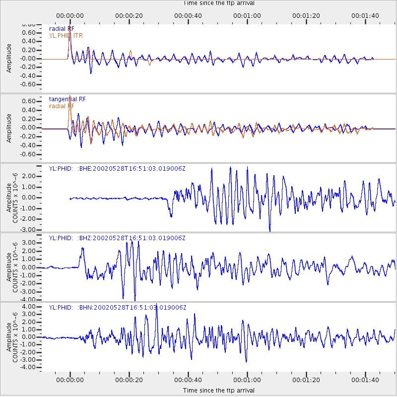
Earthquake location: Taiwan Region
Earthquake latitude/longitude: 24.1/122.3
Earthquake time(UTC): 2002/05/28 (148) 16:45:17 GMT
Earthquake Depth: 33 km
Earthquake Magnitude: 5.8 MB, 5.9 MS, 6.0 MW, 6.0 MW
Earthquake Catalog/Contributor: WHDF/NEIC
Network: YL Himalayan Nepal Tibet Experiment
Station: PHID YL.PHID
Lat/Lon: 27.15 N/87.76 E
Elevation: 1176 m
Distance: 31.2 deg
Az: 283.06 deg
Baz: 87.849 deg
Ray Param: 0.07909986
Estimated Moho Depth: 35.75 km
Estimated Crust Vp/Vs: 1.73
Assumed Crust Vp: 6.236 km/s
Estimated Crust Vs: 3.599 km/s
Estimated Crust Poisson's Ratio: 0.25
Radial Match: 81.15745 %
Radial Bump: 400
Transverse Match: 77.09198 %
Transverse Bump: 400
SOD ConfigId: 16844
Insert Time: 2010-02-26 16:03:58.271 +0000
GWidth: 2.5
Max Bumps: 400
Tol: 0.001

Signal To Noise

ChannelStoNSTALTA
YL:PHID: :BHZ:20020528T16:51:03.019006Z14.5528619.855613E-76.772285E-8
YL:PHID: :BHN:20020528T16:51:03.019006Z1.53900991.0655372E-76.923524E-8
YL:PHID: :BHE:20020528T16:51:03.019006Z14.9460946.743319E-74.51176E-8
Arrivals
Ps4.5 SECOND
PpPs15 SECOND
PsPs/PpSs19 SECOND