TNA Tin City Broadband - Earthquake Result Viewer
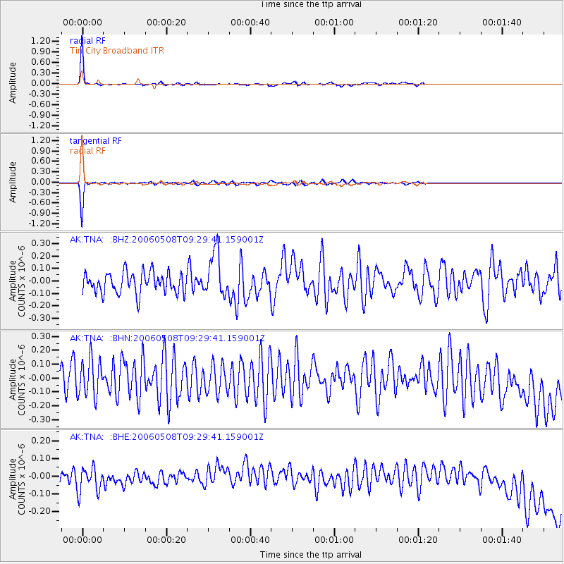
Earthquake location: Southern Sumatra, Indonesia
Earthquake latitude/longitude: -4.8/102.4
Earthquake time(UTC): 2006/05/08 (128) 09:16:57 GMT
Earthquake Depth: 43 km
Earthquake Magnitude: 5.8 MB, 5.7 MS, 5.9 MW, 5.8 MW
Earthquake Catalog/Contributor: WHDF/NEIC
Network: AK Alaska Regional Network
Station: TNA Tin City Broadband
Lat/Lon: 65.56 N/167.92 W
Elevation: 74 m
Distance: 94.3 deg
Az: 24.657 deg
Baz: 267.742 deg
Ray Param: 0.04106702
Estimated Moho Depth: 43.5 km
Estimated Crust Vp/Vs: 1.79
Assumed Crust Vp: 6.307 km/s
Estimated Crust Vs: 3.528 km/s
Estimated Crust Poisson's Ratio: 0.27
Radial Match: 93.74994 %
Radial Bump: 137
Transverse Match: 90.42877 %
Transverse Bump: 157
SOD ConfigId: 2669
Insert Time: 2010-03-09 13:31:28.167 +0000
GWidth: 2.5
Max Bumps: 400
Tol: 0.001

Signal To Noise

ChannelStoNSTALTA
AK:TNA: :BHN:20060508T09:29:41.159001Z1.030591.3415344E-71.3017149E-7
AK:TNA: :BHE:20060508T09:29:41.159001Z1.44104647.267387E-85.0431318E-8
AK:TNA: :BHZ:20060508T09:29:41.159001Z2.18323661.8086153E-78.284101E-8
Arrivals
Ps5.5 SECOND
PpPs19 SECOND
PsPs/PpSs24 SECOND