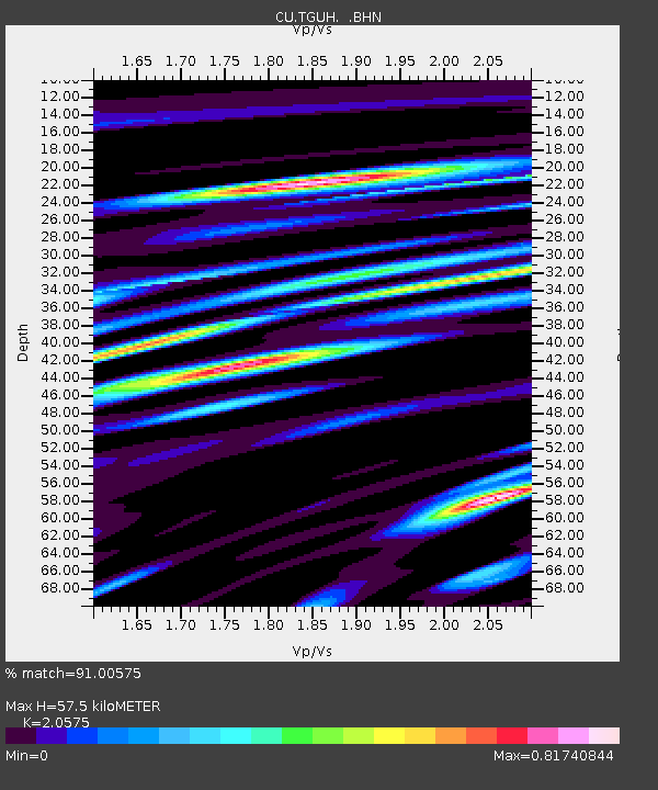
TGUH Tegucigalpa, Honduras - Earthquake Result Viewer

Earthquake location: Andreanof Islands, Aleutian Is.
Earthquake latitude/longitude: 51.4/-179.5
Earthquake time(UTC): 2007/12/19 (353) 09:30:27 GMT
Earthquake Depth: 29 km
Earthquake Magnitude: 6.4 MB, 7.1 MS, 7.1 MW, 7.0 MW
Earthquake Catalog/Contributor: WHDF/NEIC
Network: CU Caribbean Network (USGS)
Station: TGUH Tegucigalpa, Honduras
Lat/Lon: 14.06 N/87.27 W
Elevation: 0.0 m
Distance: 80.6 deg
Az: 79.428 deg
Baz: 320.575 deg
Ray Param: 0.048161924
Estimated Moho Depth: 57.5 km
Estimated Crust Vp/Vs: 2.06
Assumed Crust Vp: 6.597 km/s
Estimated Crust Vs: 3.207 km/s
Estimated Crust Poisson's Ratio: 0.35
Radial Match: 91.00575 %
Radial Bump: 400
Transverse Match: 94.27803 %
Transverse Bump: 400
SOD ConfigId: 2564
Insert Time: 2010-03-09 13:51:55.115 +0000
GWidth: 2.5
Max Bumps: 400
Tol: 0.001

Signal To Noise

ChannelStoNSTALTA
CU:TGUH: :BHN:20071219T09:42:05.549001Z3.71991598.358255E-72.2468936E-7
CU:TGUH: :BHE:20071219T09:42:05.549001Z5.8429931.1202739E-61.9172946E-7
CU:TGUH: :BHZ:20071219T09:42:05.549001Z28.0627353.982762E-61.4192352E-7
Arrivals
Ps9.5 SECOND
PpPs26 SECOND
PsPs/PpSs35 SECOND