C22 GY.C22 - Earthquake Result Viewer
Earthquake location: Nicobar Islands, India Region
Earthquake latitude/longitude: 6.5/94.7
Earthquake time(UTC): 1993/08/28 (240) 20:14:44 GMT
Earthquake Depth: 120 km
Earthquake Magnitude: 5.8 MB, 5.9 UNKNOWN, 5.9 MW
Earthquake Catalog/Contributor: WHDF/NEIC
Network: GY Geyokcha, Turkmenistan Seismic Array
Station: C22 GY.C22
Lat/Lon: 37.93 N/58.11 E
Elevation: 663 m
Distance: 45.6 deg
Az: 318.687 deg
Baz: 123.951 deg
Ray Param: 0.07076473
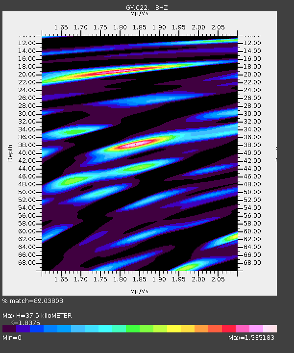
Estimated Moho Depth: 37.5 km
Estimated Crust Vp/Vs: 1.84
Assumed Crust Vp: 6.53 km/s
Estimated Crust Vs: 3.554 km/s
Estimated Crust Poisson's Ratio: 0.29
Radial Match: 89.03808 %
Radial Bump: 400
Transverse Match: 88.51013 %
Transverse Bump: 400
SOD ConfigId: 4480
Insert Time: 2010-03-09 13:54:01.078 +0000
GWidth: 2.5
Max Bumps: 400
Tol: 0.001

Signal To Noise

ChannelStoNSTALTA
GY:C22: :BHZ:19930828T20:22:22.000006Z17.07401546.221831.991417
GY:C22: :BHN:19930828T20:22:22.000006Z6.9050603176.087125.501167
GY:C22: :BHE:19930828T20:22:22.000006Z7.5826817218.4784228.812817
Arrivals
Ps5.1 SECOND
PpPs15 SECOND
PsPs/PpSs20 SECOND