FUORN CH.FUORN - Earthquake Result Viewer
Earthquake location: Northern Sumatra, Indonesia
Earthquake latitude/longitude: 0.1/97.1
Earthquake time(UTC): 2006/05/16 (136) 15:28:25 GMT
Earthquake Depth: 12 km
Earthquake Magnitude: 6.6 MB, 6.8 MS, 6.8 MW, 6.8 MW
Earthquake Catalog/Contributor: WHDF/NEIC
Network: CH Switzerland Seismological Network
Station: FUORN CH.FUORN
Lat/Lon: 46.62 N/10.26 E
Elevation: 2333 m
Distance: 87.7 deg
Az: 316.471 deg
Baz: 92.266 deg
Ray Param: 0.04311786
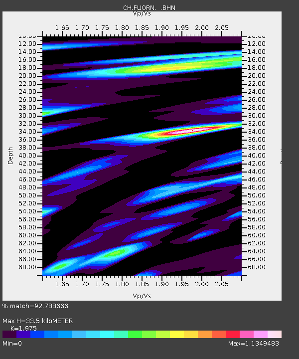
Estimated Moho Depth: 33.5 km
Estimated Crust Vp/Vs: 1.98
Assumed Crust Vp: 6.35 km/s
Estimated Crust Vs: 3.215 km/s
Estimated Crust Poisson's Ratio: 0.33
Radial Match: 92.788666 %
Radial Bump: 400
Transverse Match: 94.41737 %
Transverse Bump: 400
SOD ConfigId: 2669
Insert Time: 2010-02-25 19:19:18.525 +0000
GWidth: 2.5
Max Bumps: 400
Tol: 0.001

Signal To Noise

ChannelStoNSTALTA
CH:FUORN: :BHN:20060516T15:40:42.875017Z8.1458566.865381E-78.428066E-8
CH:FUORN: :BHE:20060516T15:40:42.875017Z19.4940431.2798822E-66.5655044E-8
CH:FUORN: :BHZ:20060516T15:40:42.875017Z49.6874433.925878E-67.901147E-8
Arrivals
Ps5.2 SECOND
PpPs15 SECOND
PsPs/PpSs21 SECOND