SIND YL.SIND - Earthquake Result Viewer
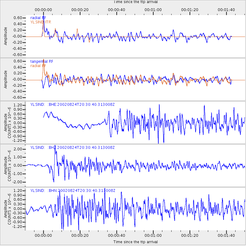
Earthquake location: Irian Jaya Region, Indonesia
Earthquake latitude/longitude: -3.3/135.8
Earthquake time(UTC): 2002/08/24 (236) 20:21:29 GMT
Earthquake Depth: 33 km
Earthquake Magnitude: 5.5 MB, 5.5 MS, 5.8 MW, 5.7 MW
Earthquake Catalog/Contributor: WHDF/NEIC
Network: YL Himalayan Nepal Tibet Experiment
Station: SIND YL.SIND
Lat/Lon: 27.21 N/85.91 E
Elevation: 465 m
Distance: 56.8 deg
Az: 305.552 deg
Baz: 114.207 deg
Ray Param: 0.06382013
Estimated Moho Depth: 18.75 km
Estimated Crust Vp/Vs: 1.60
Assumed Crust Vp: 6.142 km/s
Estimated Crust Vs: 3.839 km/s
Estimated Crust Poisson's Ratio: 0.18
Radial Match: 81.52802 %
Radial Bump: 400
Transverse Match: 68.91575 %
Transverse Bump: 400
SOD ConfigId: 16844
Insert Time: 2010-02-26 16:12:02.542 +0000
GWidth: 2.5
Max Bumps: 400
Tol: 0.001

Signal To Noise

ChannelStoNSTALTA
YL:SIND: :BHZ:20020824T20:30:40.313008Z0.931484762.4552918E-72.6358904E-7
YL:SIND: :BHN:20020824T20:30:40.313008Z1.0363011.6577E-71.5996318E-7
YL:SIND: :BHE:20020824T20:30:40.313008Z0.386608631.341347E-73.4695216E-7
Arrivals
Ps1.9 SECOND
PpPs7.5 SECOND
PsPs/PpSs9.5 SECOND