You are here: Home > Network List > GS - US Geological Survey Networks Stations List
> Station OK051 E0350 and S34600 Roads, Ralston, OK > Earthquake Result Viewer
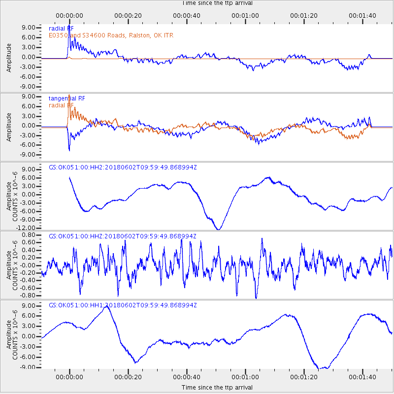
OK051 E0350 and S34600 Roads, Ralston, OK - Earthquake Result Viewer
*The percent match for this event was below the threshold and hence no stack was calculated.
| Earthquake location: |
East Of Kuril Islands |
| Earthquake latitude/longitude: |
43.9/148.0 |
| Earthquake time(UTC): |
2018/06/02 (153) 09:48:08 GMT |
| Earthquake Depth: |
10 km |
| Earthquake Magnitude: |
5.5 Mww |
| Earthquake Catalog/Contributor: |
NEIC PDE/us |
|
| Network: |
GS US Geological Survey Networks |
| Station: |
OK051 E0350 and S34600 Roads, Ralston, OK |
| Lat/Lon: |
36.51 N/96.84 W |
| Elevation: |
263 m |
|
| Distance: |
80.6 deg |
| Az: |
47.675 deg |
| Baz: |
318.485 deg |
| Ray Param: |
$rayparam |
*The percent match for this event was below the threshold and hence was not used in the summary stack. |
|
| Radial Match: |
48.32769 % |
| Radial Bump: |
400 |
| Transverse Match: |
45.540977 % |
| Transverse Bump: |
400 |
| SOD ConfigId: |
2709371 |
| Insert Time: |
2018-06-16 09:51:16.298 +0000 |
| GWidth: |
2.5 |
| Max Bumps: |
400 |
| Tol: |
0.001 |
|
Signal To Noise
| Channel | StoN | STA | LTA |
| GS:OK051:00:HHZ:20180602T09:59:49.868994Z | 1.3890243 | 3.138675E-7 | 2.2596258E-7 |
| GS:OK051:00:HH1:20180602T09:59:49.868994Z | 2.9111767 | 6.004434E-6 | 2.0625455E-6 |
| GS:OK051:00:HH2:20180602T09:59:49.868994Z | 1.8337685 | 5.1164484E-6 | 2.7901276E-6 |
| Arrivals |
| Ps | |
| PpPs | |
| PsPs/PpSs | |


