SNP71 SNP71 - Earthquake Result Viewer
Earthquake location: Andreanof Islands, Aleutian Is.
Earthquake latitude/longitude: 51.2/-179.3
Earthquake time(UTC): 2006/07/08 (189) 20:40:00 GMT
Earthquake Depth: 22 km
Earthquake Magnitude: 6.2 MB, 6.4 MS, 6.6 MW, 6.6 MW
Earthquake Catalog/Contributor: WHDF/NEIC
Network: XE Sierra Nevada EarthScope Project- EarthScope Flex Array
Station: SNP71 SNP71
Lat/Lon: 37.64 N/120.40 W
Elevation: 157 m
Distance: 43.1 deg
Az: 84.637 deg
Baz: 307.921 deg
Ray Param: 0.07276186
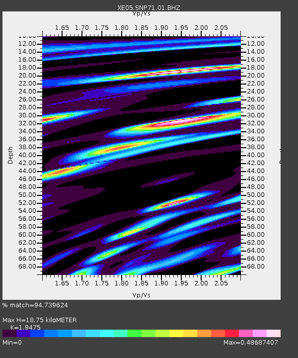
Estimated Moho Depth: 18.75 km
Estimated Crust Vp/Vs: 1.95
Assumed Crust Vp: 6.391 km/s
Estimated Crust Vs: 3.281 km/s
Estimated Crust Poisson's Ratio: 0.32
Radial Match: 94.739624 %
Radial Bump: 400
Transverse Match: 86.04164 %
Transverse Bump: 400
SOD ConfigId: 268666
Insert Time: 2010-03-09 16:50:00.414 +0000
GWidth: 2.5
Max Bumps: 400
Tol: 0.001

Signal To Noise

ChannelStoNSTALTA
XE:SNP71:01:BHZ:20060708T20:47:28.318989Z4.31953952.937449E-76.800376E-8
XE:SNP71:01:BHN:20060708T20:47:28.318989Z1.68009881.1900572E-77.083258E-8
XE:SNP71:01:BHE:20060708T20:47:28.318989Z2.22313981.545444E-76.9516275E-8
Arrivals
Ps3.0 SECOND
PpPs8.1 SECOND
PsPs/PpSs11 SECOND