You are here: Home > Network List > GS - US Geological Survey Networks Stations List
> Station KAN13 Rinehart Farm > Earthquake Result Viewer
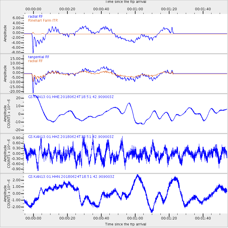
KAN13 Rinehart Farm - Earthquake Result Viewer
*The percent match for this event was below the threshold and hence no stack was calculated.
| Earthquake location: |
Central East Pacific Rise |
| Earthquake latitude/longitude: |
-9.0/-108.5 |
| Earthquake time(UTC): |
2018/06/24 (175) 18:43:42 GMT |
| Earthquake Depth: |
10 km |
| Earthquake Magnitude: |
5.7 Mww |
| Earthquake Catalog/Contributor: |
NEIC PDE/us |
|
| Network: |
GS US Geological Survey Networks |
| Station: |
KAN13 Rinehart Farm |
| Lat/Lon: |
37.01 N/97.48 W |
| Elevation: |
340 m |
|
| Distance: |
47.0 deg |
| Az: |
12.13 deg |
| Baz: |
195.029 deg |
| Ray Param: |
$rayparam |
*The percent match for this event was below the threshold and hence was not used in the summary stack. |
|
| Radial Match: |
57.51612 % |
| Radial Bump: |
400 |
| Transverse Match: |
58.949062 % |
| Transverse Bump: |
400 |
| SOD ConfigId: |
2738091 |
| Insert Time: |
2018-07-08 18:47:01.720 +0000 |
| GWidth: |
2.5 |
| Max Bumps: |
400 |
| Tol: |
0.001 |
|
Signal To Noise
| Channel | StoN | STA | LTA |
| GS:KAN13:01:HHZ:20180624T18:51:42.909003Z | 2.0850995 | 4.4448993E-7 | 2.1317445E-7 |
| GS:KAN13:01:HHN:20180624T18:51:42.909003Z | 0.8746112 | 1.1057788E-6 | 1.2643089E-6 |
| GS:KAN13:01:HHE:20180624T18:51:42.909003Z | 0.7426704 | 7.042848E-6 | 9.483141E-6 |
| Arrivals |
| Ps | |
| PpPs | |
| PsPs/PpSs | |


