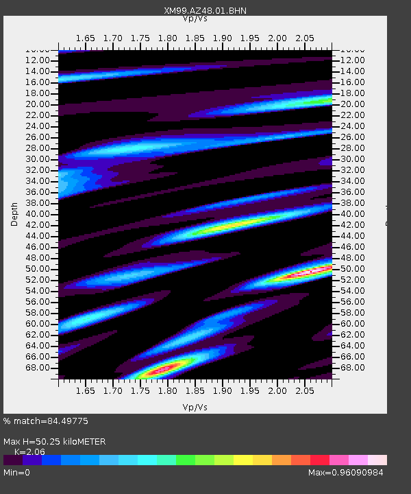
AZ48 Arizona48 - Earthquake Result Viewer

Earthquake location: Near S. Coast Of Honshu, Japan
Earthquake latitude/longitude: 34.2/139.1
Earthquake time(UTC): 2000/07/01 (183) 07:01:55 GMT
Earthquake Depth: 10 km
Earthquake Magnitude: 6.0 MB, 6.1 MS, 6.2 MW, 6.2 MW
Earthquake Catalog/Contributor: WHDF/NEIC
Network: XM Rio Grande Seismic Transect
Station: AZ48 Arizona48
Lat/Lon: 36.76 N/109.54 W
Elevation: 1664 m
Distance: 84.7 deg
Az: 48.695 deg
Baz: 309.184 deg
Ray Param: 0.045260474
Estimated Moho Depth: 50.25 km
Estimated Crust Vp/Vs: 2.06
Assumed Crust Vp: 6.476 km/s
Estimated Crust Vs: 3.144 km/s
Estimated Crust Poisson's Ratio: 0.35
Radial Match: 84.49775 %
Radial Bump: 400
Transverse Match: 79.29264 %
Transverse Bump: 400
SOD ConfigId: 27569
Insert Time: 2010-02-26 17:18:32.879 +0000
GWidth: 2.5
Max Bumps: 400
Tol: 0.001

Signal To Noise

ChannelStoNSTALTA
XM:AZ48:01:BHN:20000701T07:13:58.321028Z0.95676565.079616E-85.309154E-8
XM:AZ48:01:BHE:20000701T07:13:58.321028Z0.97303636.274951E-86.4488354E-8
XM:AZ48:01:BHZ:20000701T07:13:58.321028Z1.48305861.06611814E-77.188645E-8
Arrivals
Ps8.4 SECOND
PpPs23 SECOND
PsPs/PpSs32 SECOND