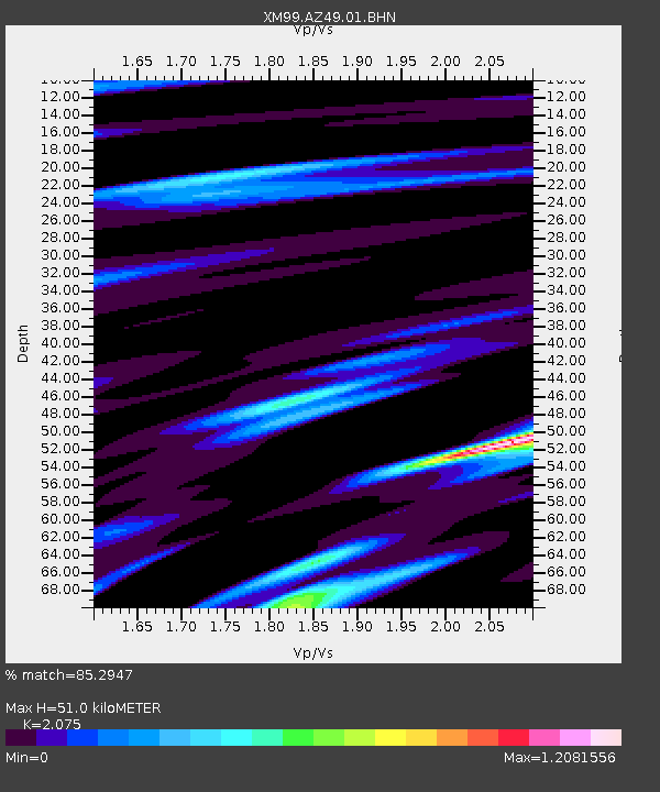
AZ49 Arizona49 - Earthquake Result Viewer

Earthquake location: Northern Mid-Atlantic Ridge
Earthquake latitude/longitude: 31.7/-41.0
Earthquake time(UTC): 2000/10/05 (279) 13:39:11 GMT
Earthquake Depth: 10 km
Earthquake Magnitude: 5.4 MB, 6.1 MS, 6.0 MW, 5.9 MW
Earthquake Catalog/Contributor: WHDF/NEIC
Network: XM Rio Grande Seismic Transect
Station: AZ49 Arizona49
Lat/Lon: 36.89 N/109.69 W
Elevation: 1512 m
Distance: 55.9 deg
Az: 295.543 deg
Baz: 73.52 deg
Ray Param: 0.06449059
Estimated Moho Depth: 51.0 km
Estimated Crust Vp/Vs: 2.08
Assumed Crust Vp: 6.476 km/s
Estimated Crust Vs: 3.121 km/s
Estimated Crust Poisson's Ratio: 0.35
Radial Match: 85.2947 %
Radial Bump: 324
Transverse Match: 64.99583 %
Transverse Bump: 379
SOD ConfigId: 3744
Insert Time: 2010-02-26 17:19:46.445 +0000
GWidth: 2.5
Max Bumps: 400
Tol: 0.001

Signal To Noise

ChannelStoNSTALTA
XM:AZ49:01:BHN:20001005T13:48:18.565996Z0.55676741.4949465E-72.6850466E-7
XM:AZ49:01:BHE:20001005T13:48:18.565996Z1.26722151.4496543E-71.1439629E-7
XM:AZ49:01:BHZ:20001005T13:48:18.565996Z1.141371.8156038E-71.5907231E-7
Arrivals
Ps8.9 SECOND
PpPs23 SECOND
PsPs/PpSs32 SECOND