SNPG7 SNPG7 - Earthquake Result Viewer
Earthquake location: Southwestern Ryukyu Isl., Japan
Earthquake latitude/longitude: 25.7/125.1
Earthquake time(UTC): 2007/04/20 (110) 01:45:56 GMT
Earthquake Depth: 9.0 km
Earthquake Magnitude: 5.9 MB, 6.2 MS, 6.3 MW, 6.2 MW
Earthquake Catalog/Contributor: WHDF/NEIC
Network: XE Sierra Nevada EarthScope Project- EarthScope Flex Array
Station: SNPG7 SNPG7
Lat/Lon: 40.11 N/121.17 W
Elevation: 1591 m
Distance: 90.1 deg
Az: 44.6 deg
Baz: 304.317 deg
Ray Param: 0.04169886
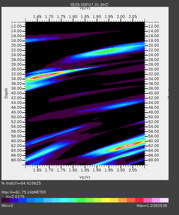
Estimated Moho Depth: 61.75 km
Estimated Crust Vp/Vs: 2.03
Assumed Crust Vp: 6.566 km/s
Estimated Crust Vs: 3.239 km/s
Estimated Crust Poisson's Ratio: 0.34
Radial Match: 84.418625 %
Radial Bump: 400
Transverse Match: 85.541824 %
Transverse Bump: 400
SOD ConfigId: 268666
Insert Time: 2010-03-09 19:38:09.509 +0000
GWidth: 2.5
Max Bumps: 400
Tol: 0.001

Signal To Noise

ChannelStoNSTALTA
XE:SNPG7:01:BHZ:20070420T01:58:24.685012Z4.6811431.2278238E-62.6229145E-7
XE:SNPG7:01:BHN:20070420T01:58:24.685012Z0.492881331.596818E-73.239762E-7
XE:SNPG7:01:BHE:20070420T01:58:24.685012Z1.89288834.579774E-72.4194634E-7
Arrivals
Ps9.8 SECOND
PpPs28 SECOND
PsPs/PpSs38 SECOND