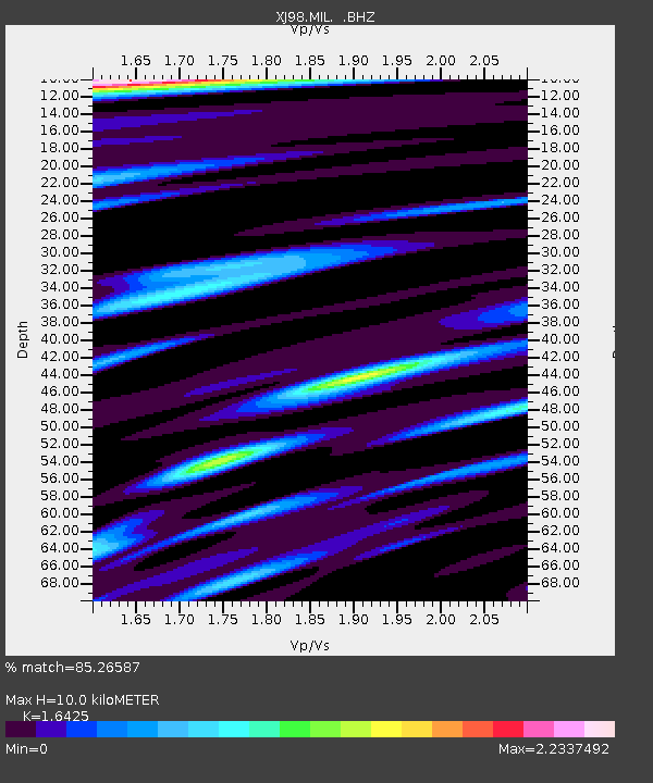
MIL Milkovo - Earthquake Result Viewer

Earthquake location: Western Xizang-India Border Reg.
Earthquake latitude/longitude: 30.5/79.4
Earthquake time(UTC): 1999/03/28 (087) 19:05:11 GMT
Earthquake Depth: 15 km
Earthquake Magnitude: 6.4 MB, 6.6 MS, 6.6 MW, 6.5 ME
Earthquake Catalog/Contributor: WHDF/NEIC
Network: XJ Side Edge of Kamchatka Subduction Zone
Station: MIL Milkovo
Lat/Lon: 54.69 N/158.58 E
Elevation: 49 m
Distance: 59.6 deg
Az: 41.362 deg
Baz: 280.777 deg
Ray Param: 0.062042605
Estimated Moho Depth: 10.0 km
Estimated Crust Vp/Vs: 1.64
Assumed Crust Vp: 6.566 km/s
Estimated Crust Vs: 3.998 km/s
Estimated Crust Poisson's Ratio: 0.21
Radial Match: 85.26587 %
Radial Bump: 400
Transverse Match: 84.647064 %
Transverse Bump: 400
SOD ConfigId: 4480
Insert Time: 2010-03-09 19:53:30.857 +0000
GWidth: 2.5
Max Bumps: 400
Tol: 0.001

Signal To Noise

ChannelStoNSTALTA
XJ:MIL: :BHZ:19990328T19:14:43.310029Z7.99954273.9933734E-64.992002E-7
XJ:MIL: :BHN:19990328T19:14:43.310029Z0.97258661.5167976E-61.5595502E-6
XJ:MIL: :BHE:19990328T19:14:43.310029Z1.03177811.753541E-61.6995331E-6
Arrivals
Ps1.0 SECOND
PpPs3.8 SECOND
PsPs/PpSs4.8 SECOND