TUM Tumrok - Earthquake Result Viewer
Earthquake location: New Britain Region, P.N.G.
Earthquake latitude/longitude: -5.2/150.9
Earthquake time(UTC): 1999/05/10 (130) 20:33:02 GMT
Earthquake Depth: 138 km
Earthquake Magnitude: 6.5 MB, 6.8 MS, 7.1 MW, 6.5 MB
Earthquake Catalog/Contributor: WHDF/NEIC
Network: XJ Side Edge of Kamchatka Subduction Zone
Station: TUM Tumrok
Lat/Lon: 55.20 N/160.40 E
Elevation: 506 m
Distance: 60.7 deg
Az: 6.243 deg
Baz: 190.891 deg
Ray Param: 0.06096453
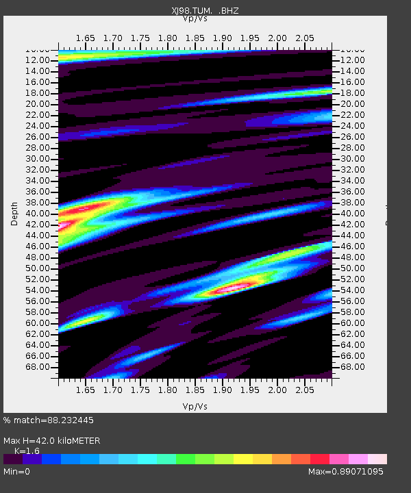
Estimated Moho Depth: 42.0 km
Estimated Crust Vp/Vs: 1.60
Assumed Crust Vp: 6.438 km/s
Estimated Crust Vs: 4.024 km/s
Estimated Crust Poisson's Ratio: 0.18
Radial Match: 88.232445 %
Radial Bump: 400
Transverse Match: 79.794426 %
Transverse Bump: 400
SOD ConfigId: 4480
Insert Time: 2010-03-09 19:58:34.693 +0000
GWidth: 2.5
Max Bumps: 400
Tol: 0.001

Signal To Noise

ChannelStoNSTALTA
XJ:TUM: :BHZ:19990510T20:42:27.941013Z78.80641.1578516E-51.4692355E-7
XJ:TUM: :BHN:19990510T20:42:27.941013Z33.7196925.4832803E-61.626136E-7
XJ:TUM: :BHE:19990510T20:42:27.941013Z10.205731.7078362E-61.673409E-7
Arrivals
Ps4.1 SECOND
PpPs16 SECOND
PsPs/PpSs20 SECOND