NM16 NewMexico16 - Earthquake Result Viewer
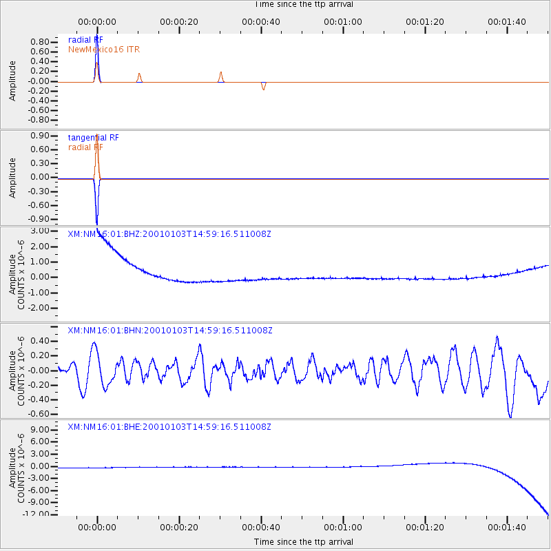
Earthquake location: Kuril Islands
Earthquake latitude/longitude: 43.9/147.8
Earthquake time(UTC): 2001/01/03 (003) 14:47:49 GMT
Earthquake Depth: 33 km
Earthquake Magnitude: 5.9 MB, 5.2 MS, 5.9 MW, 5.9 MW
Earthquake Catalog/Contributor: WHDF/NEIC
Network: XM Rio Grande Seismic Transect
Station: NM16 NewMexico16
Lat/Lon: 33.17 N/105.13 W
Elevation: 1625 m
Distance: 78.5 deg
Az: 54.896 deg
Baz: 315.19 deg
Ray Param: 0.049529463
Estimated Moho Depth: 10.0 km
Estimated Crust Vp/Vs: 1.60
Assumed Crust Vp: 6.232 km/s
Estimated Crust Vs: 3.895 km/s
Estimated Crust Poisson's Ratio: 0.18
Radial Match: 99.995125 %
Radial Bump: 2
Transverse Match: 99.995544 %
Transverse Bump: 2
SOD ConfigId: 16820
Insert Time: 2010-02-26 17:26:14.927 +0000
GWidth: 2.5
Max Bumps: 400
Tol: 0.001

Signal To Noise

ChannelStoNSTALTA
XM:NM16:01:BHN:20010103T14:59:16.511008Z1.13835562.1849712E-71.9194101E-7
XM:NM16:01:BHE:20010103T14:59:16.511008Z0.90764138.869144E-79.77164E-7
XM:NM16:01:BHZ:20010103T14:59:16.511008Z0.907866958.883008E-79.784483E-7
Arrivals
Ps1.0 SECOND
PpPs4.0 SECOND
PsPs/PpSs5.0 SECOND