WES Weston, MA - Earthquake Result Viewer
Earthquake location: Off Coast Of Jalisco, Mexico
Earthquake latitude/longitude: 18.8/-107.3
Earthquake time(UTC): 2009/09/24 (267) 07:16:19 GMT
Earthquake Depth: 10 km
Earthquake Magnitude: 5.8 MB, 6.2 MS, 6.3 MW, 6.3 MW
Earthquake Catalog/Contributor: WHDF/NEIC
Network: NE New England Seismic Network
Station: WES Weston, MA
Lat/Lon: 42.38 N/71.32 W
Elevation: 60 m
Distance: 38.5 deg
Az: 44.461 deg
Baz: 243.567 deg
Ray Param: 0.07554426
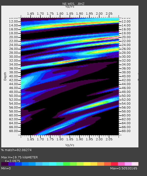
Estimated Moho Depth: 19.75 km
Estimated Crust Vp/Vs: 2.10
Assumed Crust Vp: 6.419 km/s
Estimated Crust Vs: 3.06 km/s
Estimated Crust Poisson's Ratio: 0.35
Radial Match: 92.86274 %
Radial Bump: 226
Transverse Match: 65.746666 %
Transverse Bump: 400
SOD ConfigId: 2622
Insert Time: 2010-03-09 20:27:20.652 +0000
GWidth: 2.5
Max Bumps: 400
Tol: 0.001

Signal To Noise

ChannelStoNSTALTA
NE:WES: :BHZ:20090924T07:23:10.94101Z4.2317768.2611916E-71.9521805E-7
NE:WES: :BHN:20090924T07:23:10.94101Z2.49325562.7745995E-71.11284194E-7
NE:WES: :BHE:20090924T07:23:10.94101Z3.37270624.4642564E-71.3236422E-7
Arrivals
Ps3.6 SECOND
PpPs9.0 SECOND
PsPs/PpSs13 SECOND