NM18 NewMexico18 - Earthquake Result Viewer
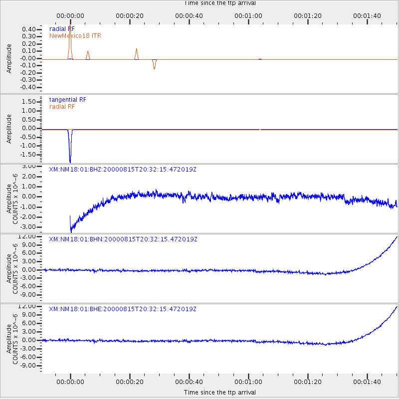
Earthquake location: Kuril Islands
Earthquake latitude/longitude: 43.0/146.8
Earthquake time(UTC): 2000/08/15 (228) 20:20:43 GMT
Earthquake Depth: 33 km
Earthquake Magnitude: 5.7 MB, 5.3 MS, 5.9 MW, 5.8 MW
Earthquake Catalog/Contributor: WHDF/NEIC
Network: XM Rio Grande Seismic Transect
Station: NM18 NewMexico18
Lat/Lon: 33.40 N/105.34 W
Elevation: 1624 m
Distance: 79.4 deg
Az: 54.084 deg
Baz: 314.786 deg
Ray Param: 0.0489511
Estimated Moho Depth: 10.0 km
Estimated Crust Vp/Vs: 1.60
Assumed Crust Vp: 6.232 km/s
Estimated Crust Vs: 3.895 km/s
Estimated Crust Poisson's Ratio: 0.18
Radial Match: 99.63579 %
Radial Bump: 21
Transverse Match: 99.99998 %
Transverse Bump: 2
SOD ConfigId: 16820
Insert Time: 2010-02-26 17:26:42.969 +0000
GWidth: 2.5
Max Bumps: 400
Tol: 0.001

Signal To Noise

ChannelStoNSTALTA
XM:NM18:01:BHN:20000815T20:32:15.472019Z0.9499369.592178E-71.009771E-6
XM:NM18:01:BHE:20000815T20:32:15.472019Z0.95935879.63936E-71.0047713E-6
XM:NM18:01:BHZ:20000815T20:32:15.472019Z0.96628069.955999E-71.0303424E-6
Arrivals
Ps1.0 SECOND
PpPs4.0 SECOND
PsPs/PpSs5.0 SECOND