NM18 NewMexico18 - Earthquake Result Viewer
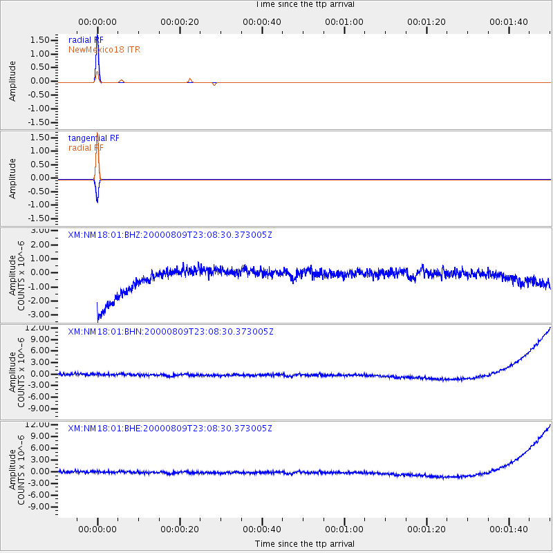
Earthquake location: Fiji Islands Region
Earthquake latitude/longitude: -16.8/174.3
Earthquake time(UTC): 2000/08/09 (222) 22:55:59 GMT
Earthquake Depth: 33 km
Earthquake Magnitude: 5.7 MB, 6.3 MS, 6.4 MW, 6.4 MW
Earthquake Catalog/Contributor: WHDF/NEIC
Network: XM Rio Grande Seismic Transect
Station: NM18 NewMexico18
Lat/Lon: 33.40 N/105.34 W
Elevation: 1624 m
Distance: 91.3 deg
Az: 55.572 deg
Baz: 250.821 deg
Ray Param: 0.041607704
Estimated Moho Depth: 10.0 km
Estimated Crust Vp/Vs: 1.60
Assumed Crust Vp: 6.232 km/s
Estimated Crust Vs: 3.895 km/s
Estimated Crust Poisson's Ratio: 0.18
Radial Match: 99.999985 %
Radial Bump: 2
Transverse Match: 99.99988 %
Transverse Bump: 2
SOD ConfigId: 16820
Insert Time: 2010-02-26 17:26:46.486 +0000
GWidth: 2.5
Max Bumps: 400
Tol: 0.001

Signal To Noise

ChannelStoNSTALTA
XM:NM18:01:BHN:20000809T23:08:30.373005Z0.866273058.644474E-79.978925E-7
XM:NM18:01:BHE:20000809T23:08:30.373005Z0.889445368.7967135E-79.890111E-7
XM:NM18:01:BHZ:20000809T23:08:30.373005Z0.87819138.9410486E-71.0181209E-6
Arrivals
Ps1.0 SECOND
PpPs4.1 SECOND
PsPs/PpSs5.1 SECOND