NM18 NewMexico18 - Earthquake Result Viewer
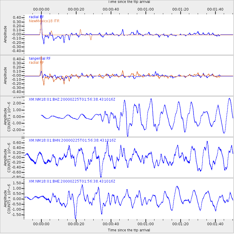
Earthquake location: Vanuatu Islands Region
Earthquake latitude/longitude: -19.5/173.8
Earthquake time(UTC): 2000/02/25 (056) 01:43:58 GMT
Earthquake Depth: 33 km
Earthquake Magnitude: 6.1 MB, 7.1 MS, 7.1 MW, 7.0 MW
Earthquake Catalog/Contributor: WHDF/NEIC
Network: XM Rio Grande Seismic Transect
Station: NM18 NewMexico18
Lat/Lon: 33.40 N/105.34 W
Elevation: 1624 m
Distance: 93.2 deg
Az: 55.809 deg
Baz: 248.851 deg
Ray Param: 0.041289352
Estimated Moho Depth: 49.0 km
Estimated Crust Vp/Vs: 1.63
Assumed Crust Vp: 6.232 km/s
Estimated Crust Vs: 3.823 km/s
Estimated Crust Poisson's Ratio: 0.20
Radial Match: 85.80109 %
Radial Bump: 400
Transverse Match: 76.673805 %
Transverse Bump: 400
SOD ConfigId: 27569
Insert Time: 2010-02-26 17:27:01.504 +0000
GWidth: 2.5
Max Bumps: 400
Tol: 0.001

Signal To Noise

ChannelStoNSTALTA
XM:NM18:01:BHN:20000225T01:56:38.431016Z0.91258391.5680733E-71.7182786E-7
XM:NM18:01:BHE:20000225T01:56:38.431016Z1.37349452.1736362E-71.5825592E-7
XM:NM18:01:BHZ:20000225T01:56:38.431016Z1.50474293.1043572E-72.0630483E-7
Arrivals
Ps5.1 SECOND
PpPs20 SECOND
PsPs/PpSs25 SECOND