UT51 Utah51 - Earthquake Result Viewer
Earthquake location: Northern Mid-Atlantic Ridge
Earthquake latitude/longitude: 31.7/-41.0
Earthquake time(UTC): 2000/10/05 (279) 13:39:11 GMT
Earthquake Depth: 10 km
Earthquake Magnitude: 5.4 MB, 6.1 MS, 6.0 MW, 5.9 MW
Earthquake Catalog/Contributor: WHDF/NEIC
Network: XM Rio Grande Seismic Transect
Station: UT51 Utah51
Lat/Lon: 37.07 N/110.00 W
Elevation: 1498 m
Distance: 56.1 deg
Az: 295.841 deg
Baz: 73.504 deg
Ray Param: 0.06437257
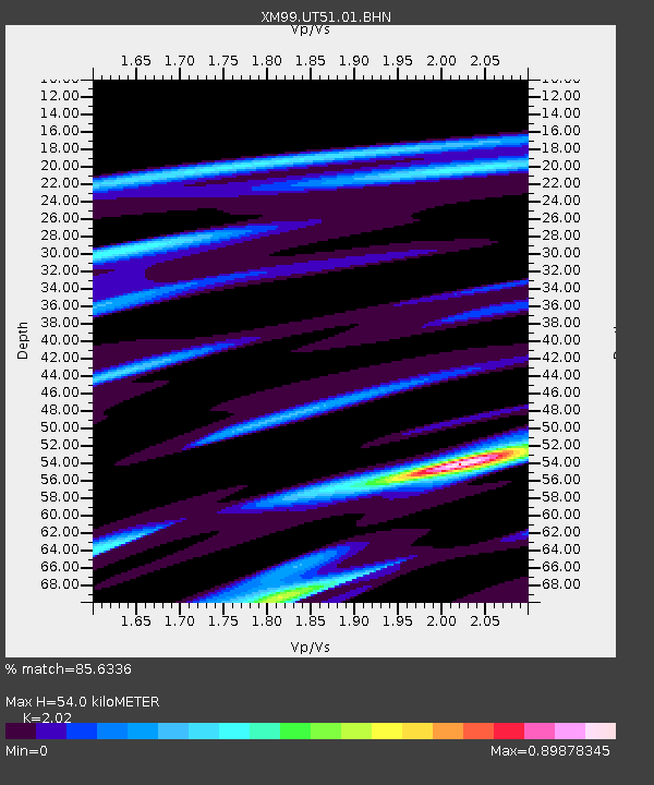
Estimated Moho Depth: 54.0 km
Estimated Crust Vp/Vs: 2.02
Assumed Crust Vp: 6.476 km/s
Estimated Crust Vs: 3.206 km/s
Estimated Crust Poisson's Ratio: 0.34
Radial Match: 85.6336 %
Radial Bump: 322
Transverse Match: 80.89068 %
Transverse Bump: 350
SOD ConfigId: 27569
Insert Time: 2010-02-26 17:27:27.174 +0000
GWidth: 2.5
Max Bumps: 400
Tol: 0.001

Signal To Noise

ChannelStoNSTALTA
XM:UT51:01:BHN:20001005T13:48:19.821001Z1.5413431.8314248E-71.1882007E-7
XM:UT51:01:BHE:20001005T13:48:19.821001Z0.5677326.888854E-81.213399E-7
XM:UT51:01:BHZ:20001005T13:48:19.821001Z1.33454951.0524973E-77.886536E-8
Arrivals
Ps8.9 SECOND
PpPs24 SECOND
PsPs/PpSs33 SECOND