L06 XF.L06 - Earthquake Result Viewer
Earthquake location: Southeast Of Honshu, Japan
Earthquake latitude/longitude: 30.1/141.8
Earthquake time(UTC): 2001/04/14 (104) 23:27:26 GMT
Earthquake Depth: 10 km
Earthquake Magnitude: 6.0 MB, 5.8 MS, 6.0 MW, 6.0 ME
Earthquake Catalog/Contributor: WHDF/NEIC
Network: XF Laramie Telemetered Brad-band Array
Station: L06 XF.L06
Lat/Lon: 41.10 N/105.61 W
Elevation: 7600 m
Distance: 85.7 deg
Az: 44.39 deg
Baz: 306.658 deg
Ray Param: 0.044565175
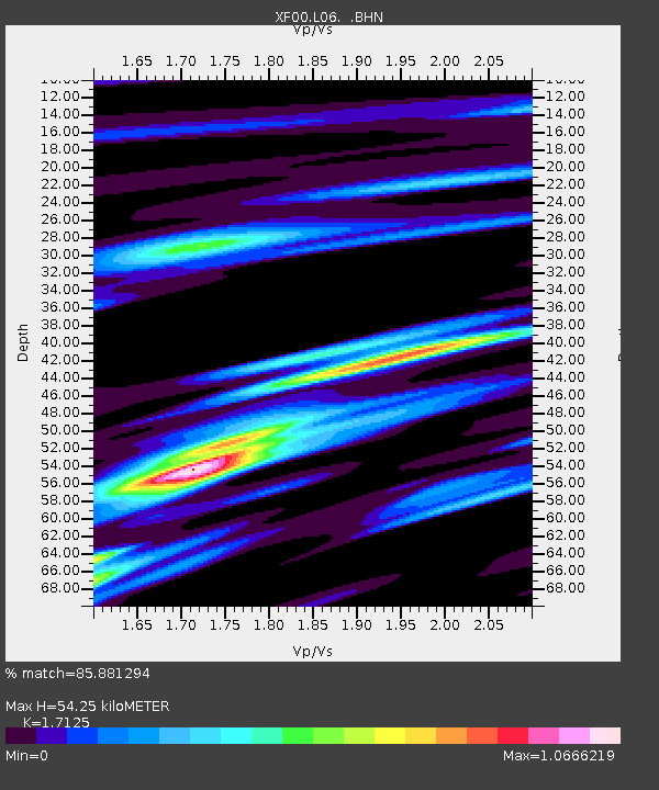
Estimated Moho Depth: 54.25 km
Estimated Crust Vp/Vs: 1.71
Assumed Crust Vp: 6.306 km/s
Estimated Crust Vs: 3.682 km/s
Estimated Crust Poisson's Ratio: 0.24
Radial Match: 85.881294 %
Radial Bump: 400
Transverse Match: 74.665886 %
Transverse Bump: 400
SOD ConfigId: 16820
Insert Time: 2010-03-09 20:52:32.924 +0000
GWidth: 2.5
Max Bumps: 400
Tol: 0.001

Signal To Noise

ChannelStoNSTALTA
XF:L06: :BHN:20010414T23:39:34.199001Z1.32355679.245069E-86.9850195E-8
XF:L06: :BHE:20010414T23:39:34.199001Z1.11579559.657905E-88.6556234E-8
XF:L06: :BHZ:20010414T23:39:34.199001Z1.26928637.7075384E-86.07234E-8
Arrivals
Ps6.3 SECOND
PpPs23 SECOND
PsPs/PpSs29 SECOND