NM33 NewMexico33 - Earthquake Result Viewer
Earthquake location: Southeastern Alaska
Earthquake latitude/longitude: 58.0/-136.9
Earthquake time(UTC): 2000/01/06 (006) 10:42:25 GMT
Earthquake Depth: 1.0 km
Earthquake Magnitude: 5.5 MB, 5.9 MS, 6.1 MW, 6.1 ML
Earthquake Catalog/Contributor: WHDF/NEIC
Network: XM Rio Grande Seismic Transect
Station: NM33 NewMexico33
Lat/Lon: 35.11 N/107.42 W
Elevation: 2094 m
Distance: 30.2 deg
Az: 126.663 deg
Baz: 328.64 deg
Ray Param: 0.0794153
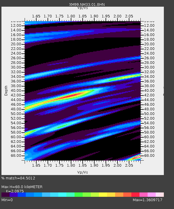
Estimated Moho Depth: 68.0 km
Estimated Crust Vp/Vs: 2.10
Assumed Crust Vp: 6.502 km/s
Estimated Crust Vs: 3.1 km/s
Estimated Crust Poisson's Ratio: 0.35
Radial Match: 84.5012 %
Radial Bump: 241
Transverse Match: 54.00021 %
Transverse Bump: 400
SOD ConfigId: 27569
Insert Time: 2010-02-26 17:29:49.400 +0000
GWidth: 2.5
Max Bumps: 400
Tol: 0.001

Signal To Noise

ChannelStoNSTALTA
XM:NM33:01:BHN:20000106T10:48:05.872986Z1.26259793.6391958E-72.8823078E-7
XM:NM33:01:BHE:20000106T10:48:05.872986Z1.83964824.8328957E-72.627076E-7
XM:NM33:01:BHZ:20000106T10:48:05.872986Z0.97200732.1897206E-72.2527821E-7
Arrivals
Ps12 SECOND
PpPs30 SECOND
PsPs/PpSs43 SECOND