
NM31 NewMexico31 - Earthquake Result Viewer
| ||||||||||||||||||
| ||||||||||||||||||
| ||||||||||||||||||
|
Signal To Noise
| Channel | StoN | STA | LTA |
| XM:NM31:01:BHN:20001108T07:06:50.254989Z | 2.1429713 | 2.7051232E-7 | 1.2623235E-7 |
| XM:NM31:01:BHE:20001108T07:06:50.254989Z | 0.8404338 | 2.318436E-7 | 2.7586185E-7 |
| XM:NM31:01:BHZ:20001108T07:06:50.254989Z | 2.8103864 | 4.6338698E-7 | 1.6488372E-7 |
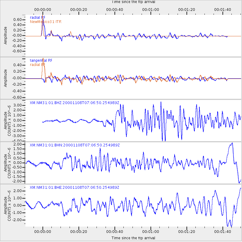
| Arrivals | |
| Ps | 4.7 SECOND |
| PpPs | 15 SECOND |
| PsPs/PpSs | 19 SECOND |

