NM27 NewMexico27 - Earthquake Result Viewer
Earthquake location: Iceland
Earthquake latitude/longitude: 64.0/-20.5
Earthquake time(UTC): 2000/06/17 (169) 15:40:41 GMT
Earthquake Depth: 10 km
Earthquake Magnitude: 5.7 MB, 6.6 MS, 6.8 MW, 6.5 MW
Earthquake Catalog/Contributor: WHDF/NEIC
Network: XM Rio Grande Seismic Transect
Station: NM27 NewMexico27
Lat/Lon: 34.39 N/106.52 W
Elevation: 1870 m
Distance: 58.0 deg
Az: 283.416 deg
Baz: 31.267 deg
Ray Param: 0.0631204
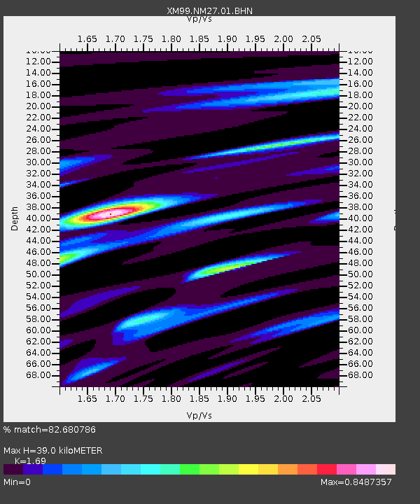
Estimated Moho Depth: 39.0 km
Estimated Crust Vp/Vs: 1.69
Assumed Crust Vp: 6.502 km/s
Estimated Crust Vs: 3.847 km/s
Estimated Crust Poisson's Ratio: 0.23
Radial Match: 82.680786 %
Radial Bump: 400
Transverse Match: 63.850594 %
Transverse Bump: 400
SOD ConfigId: 3744
Insert Time: 2010-02-26 17:31:42.637 +0000
GWidth: 2.5
Max Bumps: 400
Tol: 0.001

Signal To Noise

ChannelStoNSTALTA
XM:NM27:01:BHN:20000617T15:50:03.565999Z0.35337988.8557975E-82.5060282E-7
XM:NM27:01:BHE:20000617T15:50:03.565999Z1.9105152.1015079E-71.0999693E-7
XM:NM27:01:BHZ:20000617T15:50:03.565999Z1.77557531.5795825E-78.8961734E-8
Arrivals
Ps4.4 SECOND
PpPs15 SECOND
PsPs/PpSs20 SECOND